Transport Functions
Road
Multimodal
Hub Profile
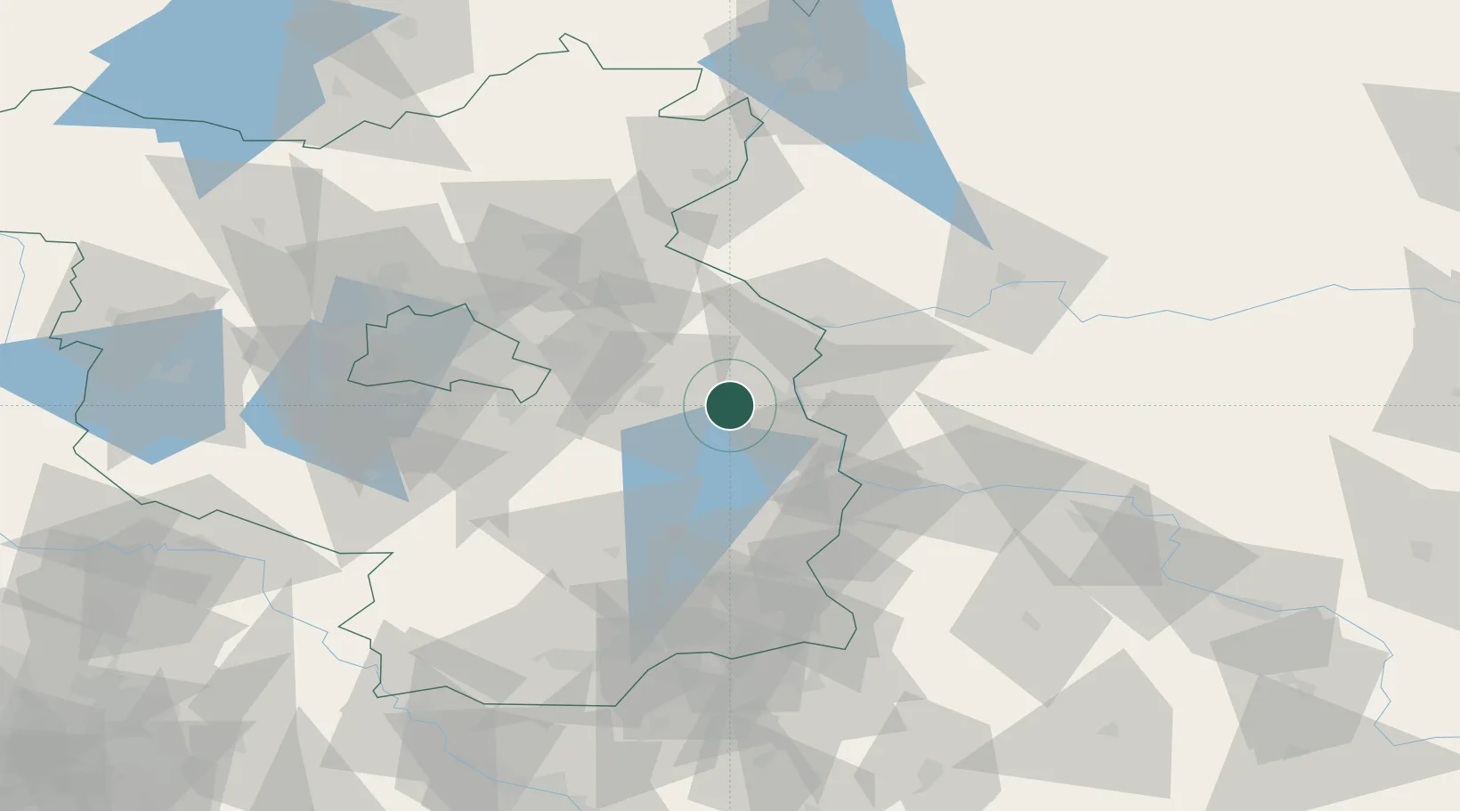
Place type
Local administrative seat
Region
Brandenburg
Population
1,960
Time zone
Europe/Berlin
Elevation
60 m
Location
Nearby Logistics Neighbours
Cities
- 1Müllrose11 km
- 2Frankfurt/Oder12 km
- 3Slubice, Lubuskie17 km
- 4Fürstenwalde19 km
- 5Bad Saarow19 km
Ports
- 1Szczecin121 km
- 2Police138 km
- 3Swinoujscie176 km
- 4Wolgast194 km
- 5Kolobrzeg225 km
Airports
- 1Berlin Brandenburg Airport57 km
- 2Holzdorf Air Base102 km
- 3Zielona Góra-Babimost Airport102 km
- 4Rothenburg/Görlitz Airfield116 km
- 5Dresden Airport139 km
Trade Zones
- 1Kostrzyń-Słubice SEZ36 km
- 2Szczecin Duty Free Zone122 km
- 3Legnica SEZ (Legnicka SSE)161 km
- 4Swinoujscie Duty Free Zone174 km
- 5Kamienna Góra208 km
DatabookThe Record of Consolidated Knowledge
Germany beyond logistics?