Transport Functions
Port
Rail
Road
Airport
Postal
Hub Profile
Place type
Regional capital
Region
Lower Saxony
Population
515,140
Time zone
Europe/Berlin
Elevation
57 m
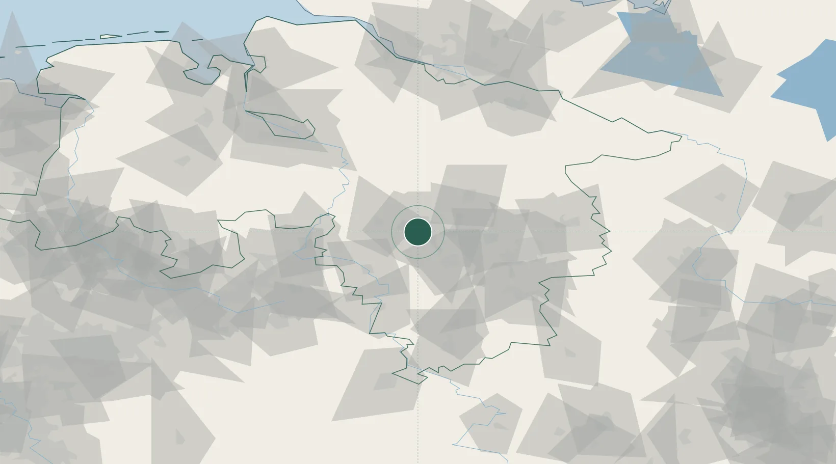
Location
Nearby Logistics Neighbours
Cities
- 1Hemmingen6 km
- 2Brink8 km
- 3Laatzen8 km
- 4Misburg9 km
- 5Langenhagen10 km
Airports
- 1Hannover Airport11 km
- 2Wunstorf Air Base22 km
- 3Celle Army Airfield32 km
- 4Bückeburg Air Base44 km
- 5Braunschweig-Wolfsburg Airport57 km
Trade Zones
DatabookThe Record of Consolidated Knowledge
Germany beyond logistics?