Transport Functions
Rail
Road
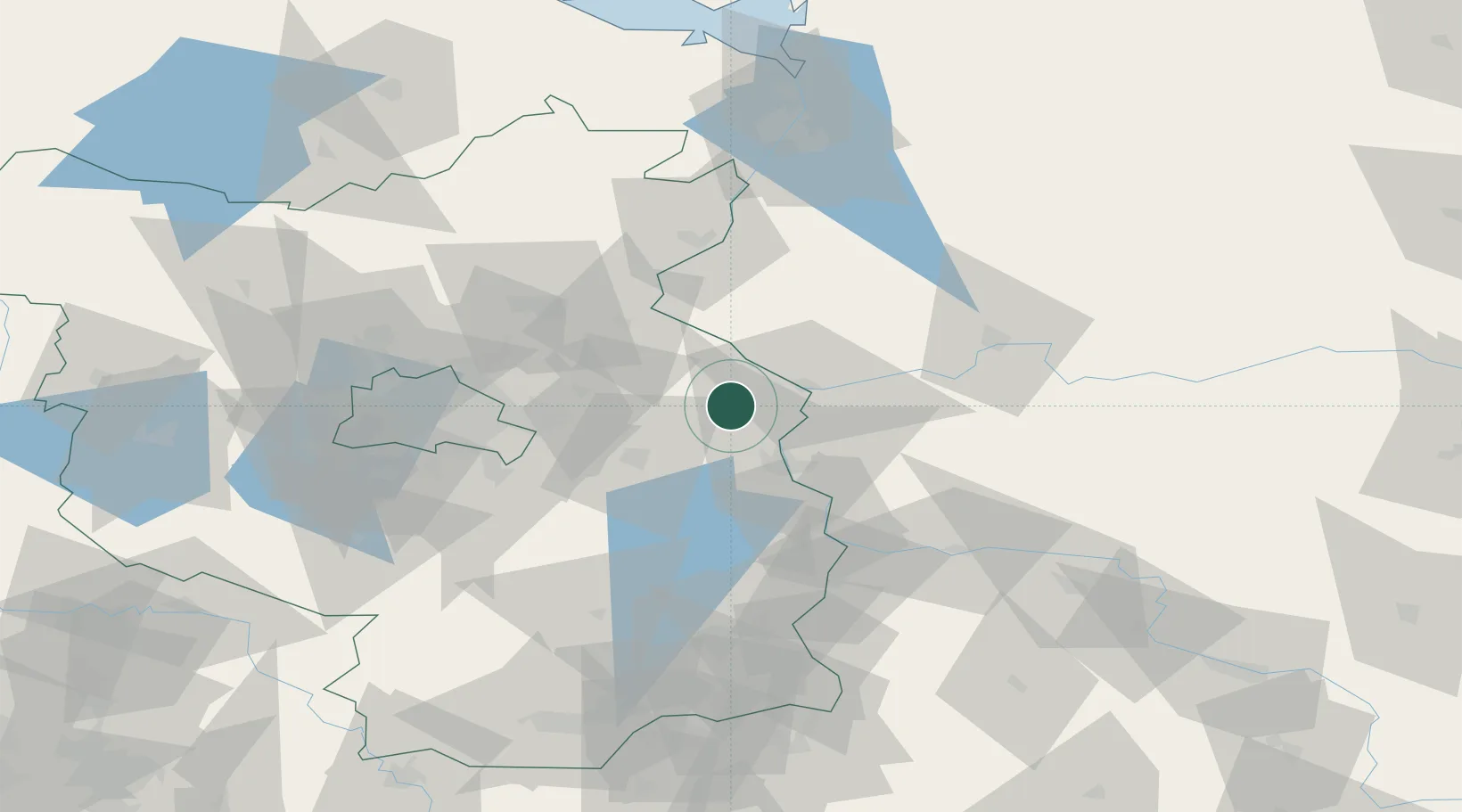
Hub Profile
Place type
District seat
Region
Brandenburg
Population
5,981
Time zone
Europe/Berlin
Elevation
51 m
Location
Nearby Logistics Neighbours
Cities
- 1Manschnow11 km
- 2Kietz16 km
- 3Küstriner Vorland16 km
- 4Kostrzyn19 km
- 5Frankfurt/Oder22 km
Ports
- 1Szczecin99 km
- 2Police116 km
- 3Swinoujscie154 km
- 4Wolgast173 km
- 5Kolobrzeg203 km
Airports
- 1Berlin Brandenburg Airport63 km
- 2Zielona Góra-Babimost Airport106 km
- 3Holzdorf Air Base119 km
- 4Solidarity Szczecin–Goleniów Airport122 km
- 5Rothenburg/Görlitz Airfield136 km
Trade Zones
- 1Kostrzyń-Słubice SEZ19 km
- 2Szczecin Duty Free Zone100 km
- 3Swinoujscie Duty Free Zone152 km
- 4Legnica SEZ (Legnicka SSE)175 km
- 5Kamienna Góra225 km
DatabookThe Record of Consolidated Knowledge
Germany beyond logistics?