Transport Functions
Multimodal
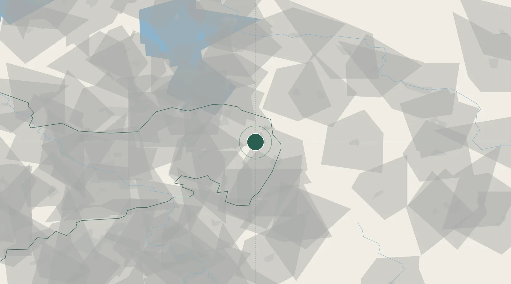
Hub Profile
Place type
Populated place
Region
Saxony
Population
11,111
Time zone
Europe/Berlin
Elevation
183 m
Location
Nearby Logistics Neighbours
Cities
- 1Horka/Oberlausitz5 km
- 2Kodersdorf7 km
- 3Rothenburg/Oberlausitz11 km
- 4Rietschen12 km
- 5Kreba-Neudorf12 km
Ports
- 1Szczecin238 km
- 2Police255 km
- 3Swinoujscie295 km
- 4Wolgast316 km
- 5Kolobrzeg330 km
Airports
- 1Rothenburg/Görlitz Airfield12 km
- 2Dresden Airport76 km
- 3Zielona Góra-Babimost Airport116 km
- 4Kostomlaty Airstrip120 km
- 5Vodochody Airport123 km
Trade Zones
DatabookThe Record of Consolidated Knowledge
Germany beyond logistics?