Transport Functions
Multimodal
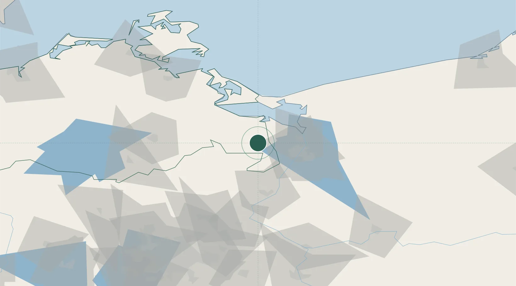
Hub Profile
Place type
Populated place
Region
Mecklenburg-Vorpommern
Population
432
Time zone
Europe/Berlin
Elevation
10 m
Location
Nearby Logistics Neighbours
Ports
- 1Police25 km
- 2Szczecin26 km
- 3Swinoujscie45 km
- 4Wolgast65 km
- 5Stralsund115 km
Airports
Trade Zones
- 1Szczecin Duty Free Zone27 km
- 2Swinoujscie Duty Free Zone43 km
- 3Kostrzyń-Słubice SEZ107 km
- 4Słupsk SEZ (Słupska SSE)213 km
- 5MTS Malmö Transport and Spedition243 km
DatabookThe Record of Consolidated Knowledge
Germany beyond logistics?