Transport Functions
Rail
Road
Hub Profile
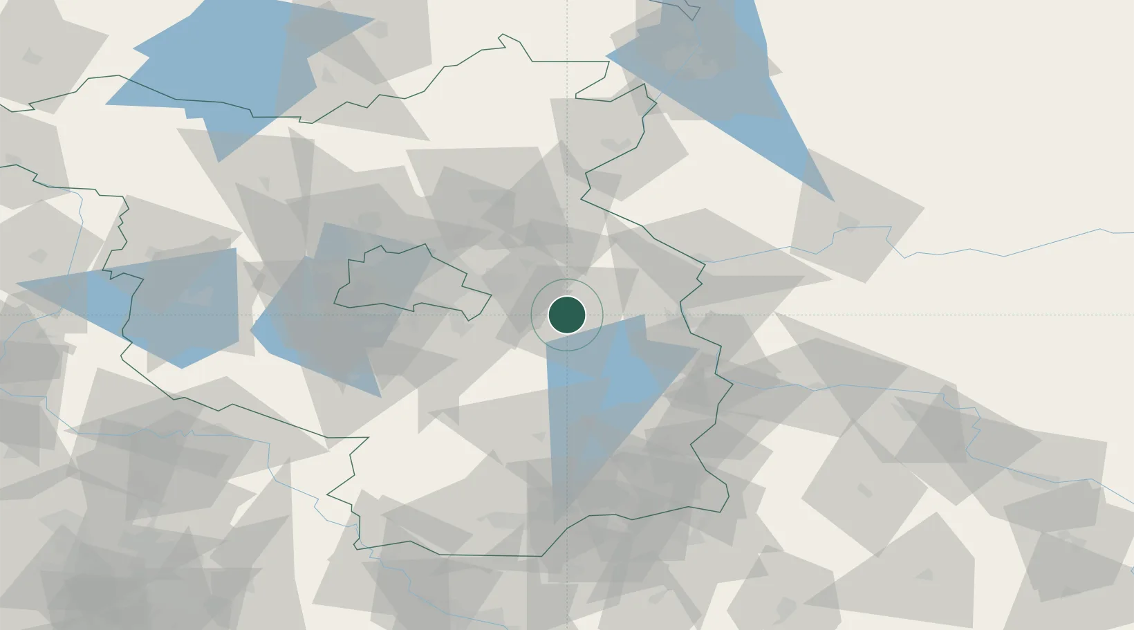
Region
BB
Location
Nearby Logistics Neighbours
Cities
- 1Braunsdorf8 km
- 2Bad Saarow9 km
- 3Hubertushöhe16 km
- 4Grünheide18 km
- 5Jacobsdorf19 km
Ports
- 1Szczecin121 km
- 2Police138 km
- 3Swinoujscie173 km
- 4Wolgast188 km
- 5Stralsund226 km
Airports
- 1Berlin Brandenburg Airport38 km
- 2Holzdorf Air Base91 km
- 3Zielona Góra-Babimost Airport121 km
- 4Rothenburg/Görlitz Airfield127 km
- 5Zerbst Airfield137 km
Trade Zones
- 1Kostrzyń-Słubice SEZ46 km
- 2Szczecin Duty Free Zone122 km
- 3Swinoujscie Duty Free Zone171 km
- 4Legnica SEZ (Legnicka SSE)176 km
- 5Most - Joseph Industrial Zone211 km
DatabookThe Record of Consolidated Knowledge
Germany beyond logistics?