Transport Functions
Rail
Road
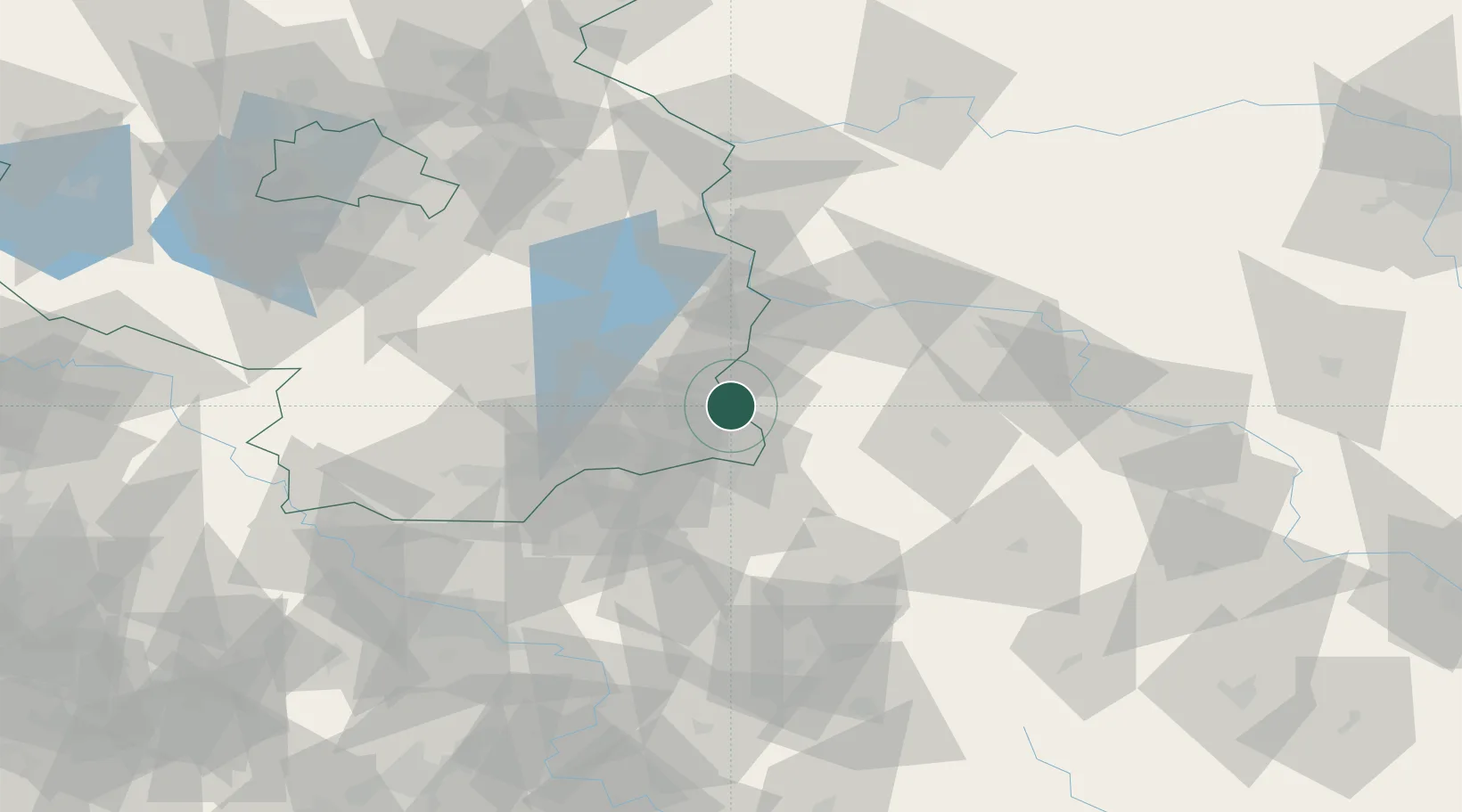
Hub Profile
Place type
District seat
Region
Brandenburg
Population
22,843
Time zone
Europe/Berlin
Elevation
80 m
Location
Nearby Logistics Neighbours
Cities
- 1Döbern13 km
- 2Jänschwalde16 km
- 3Cottbus21 km
- 4Schenkendobern24 km
- 5Guben25 km
Ports
- 1Szczecin187 km
- 2Police204 km
- 3Swinoujscie244 km
- 4Wolgast264 km
- 5Kolobrzeg283 km
Airports
- 1Rothenburg/Görlitz Airfield47 km
- 2Dresden Airport90 km
- 3Zielona Góra-Babimost Airport92 km
- 4Holzdorf Air Base101 km
- 5Berlin Brandenburg Airport104 km
Trade Zones
- 1Kostrzyń-Słubice SEZ96 km
- 2Legnica SEZ (Legnicka SSE)103 km
- 3Kamienna Góra143 km
- 4Wałbrzych SEZ INVEST-PARK (Wałbrzyska SSE)154 km
- 5Most - Joseph Industrial Zone155 km
DatabookThe Record of Consolidated Knowledge
Germany beyond logistics?