Transport Functions
Rail
Road
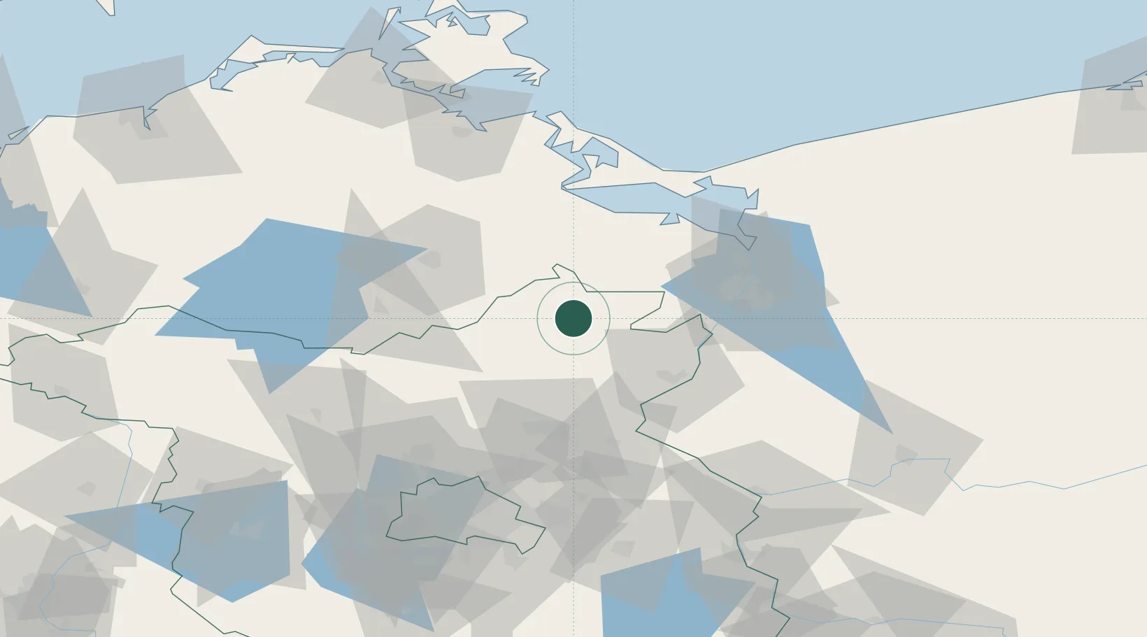
Hub Profile
Region
BB
Location
Nearby Logistics Neighbours
Cities
- 1Wittstock13 km
- 2Milmersdorf27 km
- 3Helpt27 km
- 4Rothenklempenow31 km
- 5Tantow32 km
Ports
- 1Szczecin47 km
- 2Police54 km
- 3Swinoujscie72 km
- 4Wolgast82 km
- 5Stralsund122 km
Airports
Trade Zones
- 1Szczecin Duty Free Zone48 km
- 2Swinoujscie Duty Free Zone70 km
- 3Kostrzyń-Słubice SEZ95 km
- 4Słupsk SEZ (Słupska SSE)243 km
- 5MTS Malmö Transport and Spedition259 km
DatabookThe Record of Consolidated Knowledge
Germany beyond logistics?