Transport Functions
Rail
Road
Hub Profile
Place type
Local administrative seat
Region
Brandenburg
Population
1,814
Time zone
Europe/Berlin
Elevation
61 m
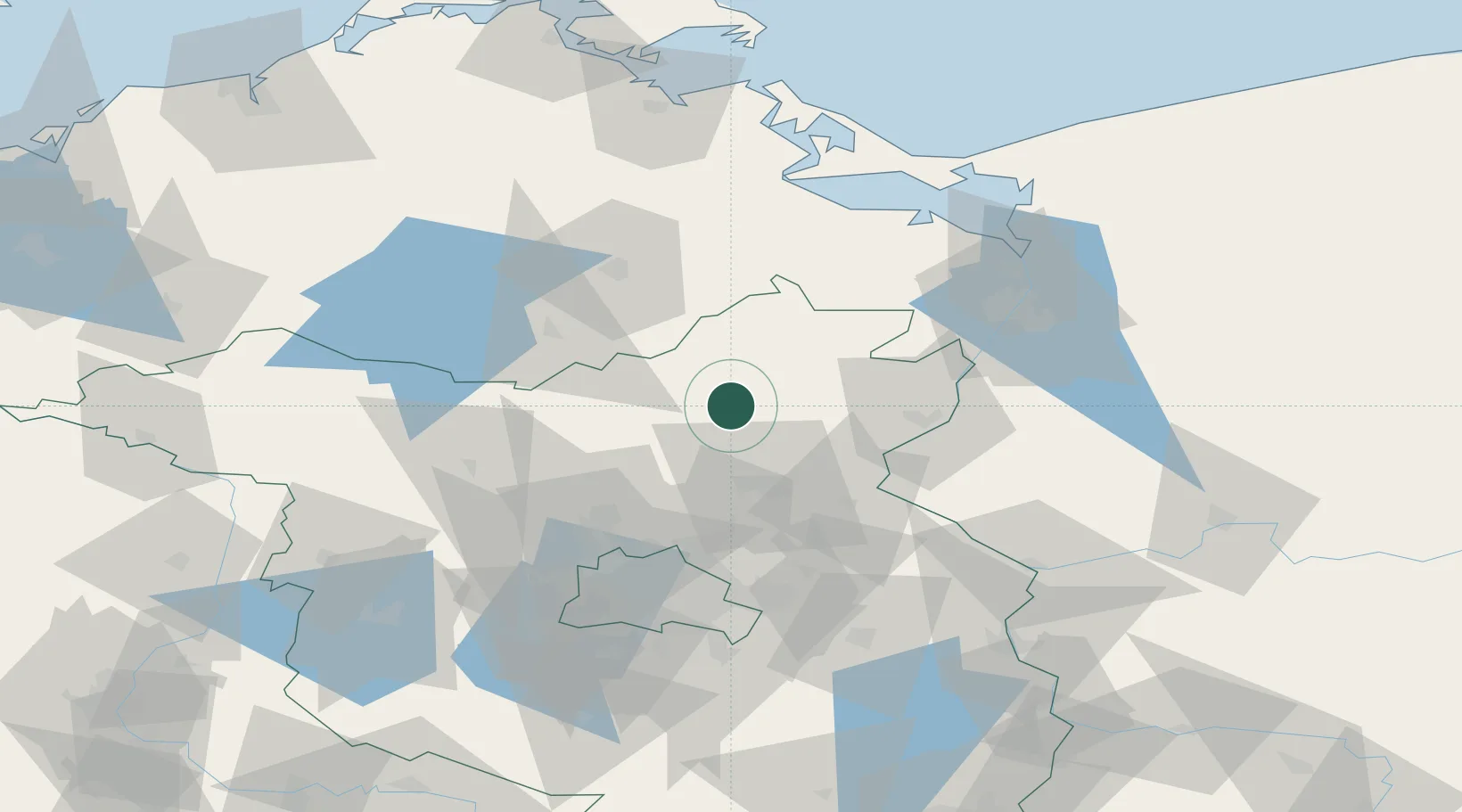
Location
Nearby Logistics Neighbours
Cities
- 1Gross Ziethen24 km
- 2Zehdenick26 km
- 3Prenzlau (Uckermark)27 km
- 4Ribbeck27 km
- 5Zehdenick28 km
Ports
- 1Szczecin69 km
- 2Police79 km
- 3Swinoujscie98 km
- 4Wolgast104 km
- 5Stralsund138 km
Airports
Trade Zones
- 1Szczecin Duty Free Zone70 km
- 2Kostrzyń-Słubice SEZ88 km
- 3Swinoujscie Duty Free Zone96 km
- 4Legnica SEZ (Legnicka SSE)257 km
- 5Freeport of Kiel266 km
DatabookThe Record of Consolidated Knowledge
Germany beyond logistics?