Transport Functions
Multimodal
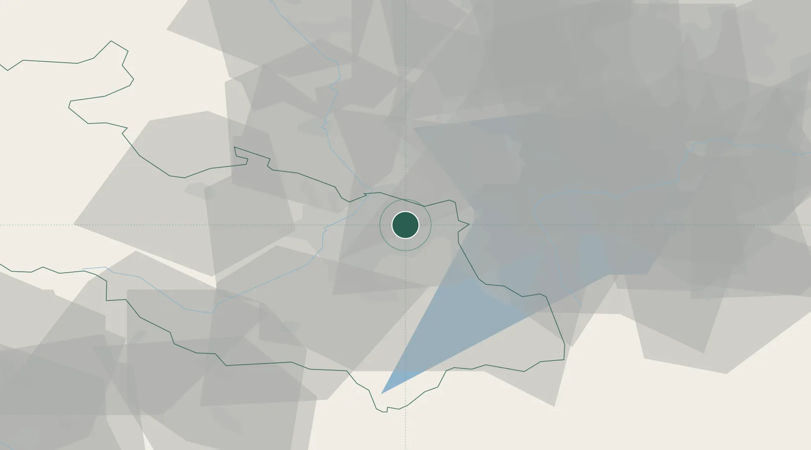
Hub Profile
Place type
Populated place
Region
Moravskoslezský
Population
34,282
Time zone
Europe/Prague
Elevation
226 m
Location
Nearby Logistics Neighbours
Cities
- 1Petrvald3 km
- 2Rychvald5 km
- 3Havírov6 km
- 4Horní Suchá7 km
- 5Ostrava8 km
Airports
DatabookThe Record of Consolidated Knowledge
Czechia beyond logistics?