Transport Functions
Port
Road
Multimodal
Hub Profile
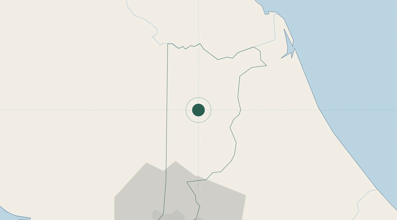
Place type
Populated place
Region
Heredia Province
Time zone
America/Costa_Rica
Elevation
51 m
Location
Nearby Logistics Neighbours
Cities
- 1Horluetas/Sarapiqui0 km
- 2Pital Con Desvio28 km
- 3Río Cuarto28 km
- 4Venecia32 km
- 5San Luis33 km
Ports
- 1Puerto Caldera99 km
- 2Puntarenas105 km
- 3Puerto Moin115 km
- 4Puerto Quepos118 km
- 5Puerto Limon123 km
Airports
Trade Zones
DatabookThe Record of Consolidated Knowledge
Costa Rica beyond logistics?