Transport Functions
Port
Road
Multimodal
Hub Profile
Place type
Populated place
Region
Alajuela Province
Time zone
America/Costa_Rica
Elevation
420 m
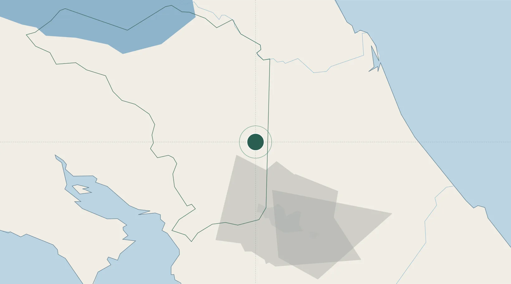
Location
Nearby Logistics Neighbours
Cities
- 1Venecia6 km
- 2Pital Con Desvio10 km
- 3Aguas Zarcas13 km
- 4San Luis14 km
- 5Altamira18 km
Ports
- 1Puerto Caldera72 km
- 2Puntarenas77 km
- 3Puerto Quepos102 km
- 4Puerto Moin132 km
- 5Puerto Limon139 km
Airports
Trade Zones
- 1AAA Top Talent Free Trade Zone32 km
- 2Activa Industrial Park35 km
- 3Zeta Free Zone Alajuela39 km
- 4Greenpark39 km
- 5Zona Franca BES (BES Free Zone)40 km
DatabookThe Record of Consolidated Knowledge
Costa Rica beyond logistics?