Transport Functions
Multimodal
Hub Profile
Place type
Populated place
Region
Alajuela Province
Time zone
America/Costa_Rica
Elevation
1,347 m
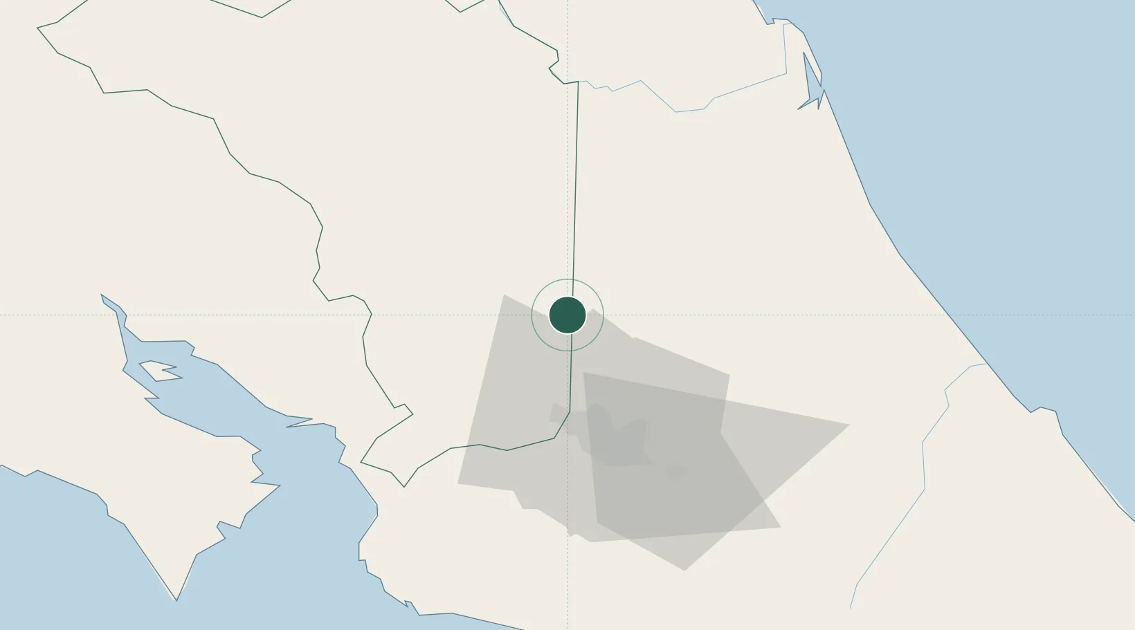
Location
Nearby Logistics Neighbours
Cities
- 1Fraijanes9 km
- 2Río Cuarto14 km
- 3San Pedro de Poas18 km
- 4Venecia18 km
- 5Santa Rosa de Pocosol19 km
Ports
- 1Puerto Caldera68 km
- 2Puntarenas76 km
- 3Puerto Quepos89 km
- 4Puerto Moin123 km
- 5Puerto Limon131 km
Airports
Trade Zones
- 1AAA Top Talent Free Trade Zone24 km
- 2Zeta Free Zone Alajuela26 km
- 3Activa Industrial Park26 km
- 4America Free Zone27 km
- 5Zona Franca America27 km
DatabookThe Record of Consolidated Knowledge
Costa Rica beyond logistics?