UN/LOCODE hub · Costa Rica
CRABG

Abangares

10.2833°, -84.9500°
2
Transport functions

Transport Functions

Port
Multimodal
UN/LOCODE

Hub Profile

Region
G
GeoNames

Location

Location of CRABG
Natural Earth 10m (public domain) · G · CRABG · 10.28, -84.95GoogleOSMYandex

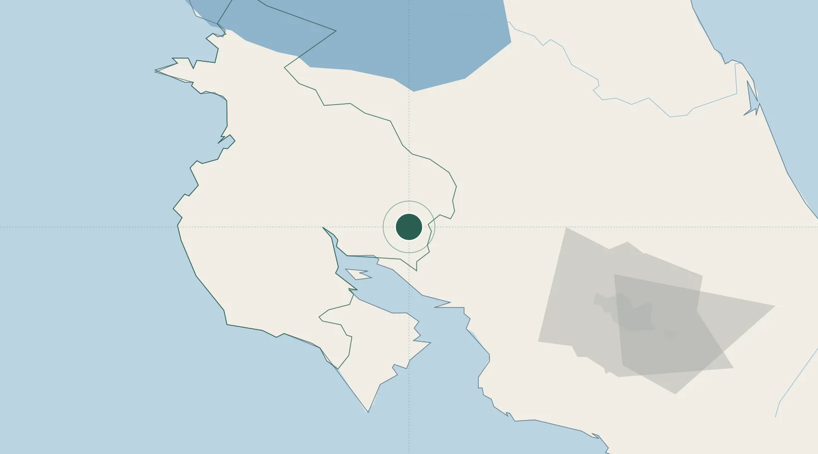
Nearby Logistics Neighbours

Cities
  1. 1Veracruz16 km
  2. 2Quebrada Grande17 km
  3. 3Punta Morales24 km
  4. 4Chomes26 km
  5. 5Paso Real29 km
Nearest neighbours — logibook spatial index (haversine) over the source coordinates
Ports
  1. 1Puntarenas36 km
  2. 2Puerto Caldera48 km
  3. 3Puerto Quepos128 km
  4. 4Puerto Moin207 km
  5. 5Puerto Limon214 km
Nearest neighbours — logibook spatial index (haversine) over the source coordinates
Airports
  1. 1La Fortuna Arenal Airport46 km
  2. 2Upala Airport68 km
  3. 3Daniel Oduber Quirós International Airport74 km
  4. 4Nosara Airport84 km
  5. 5Juan Santamaría International Airport87 km
Nearest neighbours — logibook spatial index (haversine) over the source coordinates
Trade Zones
  1. 1Zona Franca Puntarenas, SA42 km
  2. 2Puntarenas Free Trade Zone52 km
  3. 3Activa Industrial Park71 km
  4. 4AAA Top Talent Free Trade Zone72 km
  5. 5Coyol Free Zone81 km
Nearest neighbours — logibook spatial index (haversine) over the source coordinates
DatabookThe Record of Consolidated Knowledge
Costa Rica beyond logistics?
Browse databook

All Sources

LocationsUN/LOCODE
UN/LOCODE — free
Portsthe NGA World Port Index
Public domain (US gov)
AirportsOurAirports
Public domain
Trade Zonesthe World Bank SEZ database
CC BY 4.0
Trade ZonesOpen Zone Map
CC BY
← Costa Rica locations