Transport Functions
Multimodal
Hub Profile
Place type
Populated place
Region
Alajuela Province
Time zone
America/Costa_Rica
Elevation
951 m
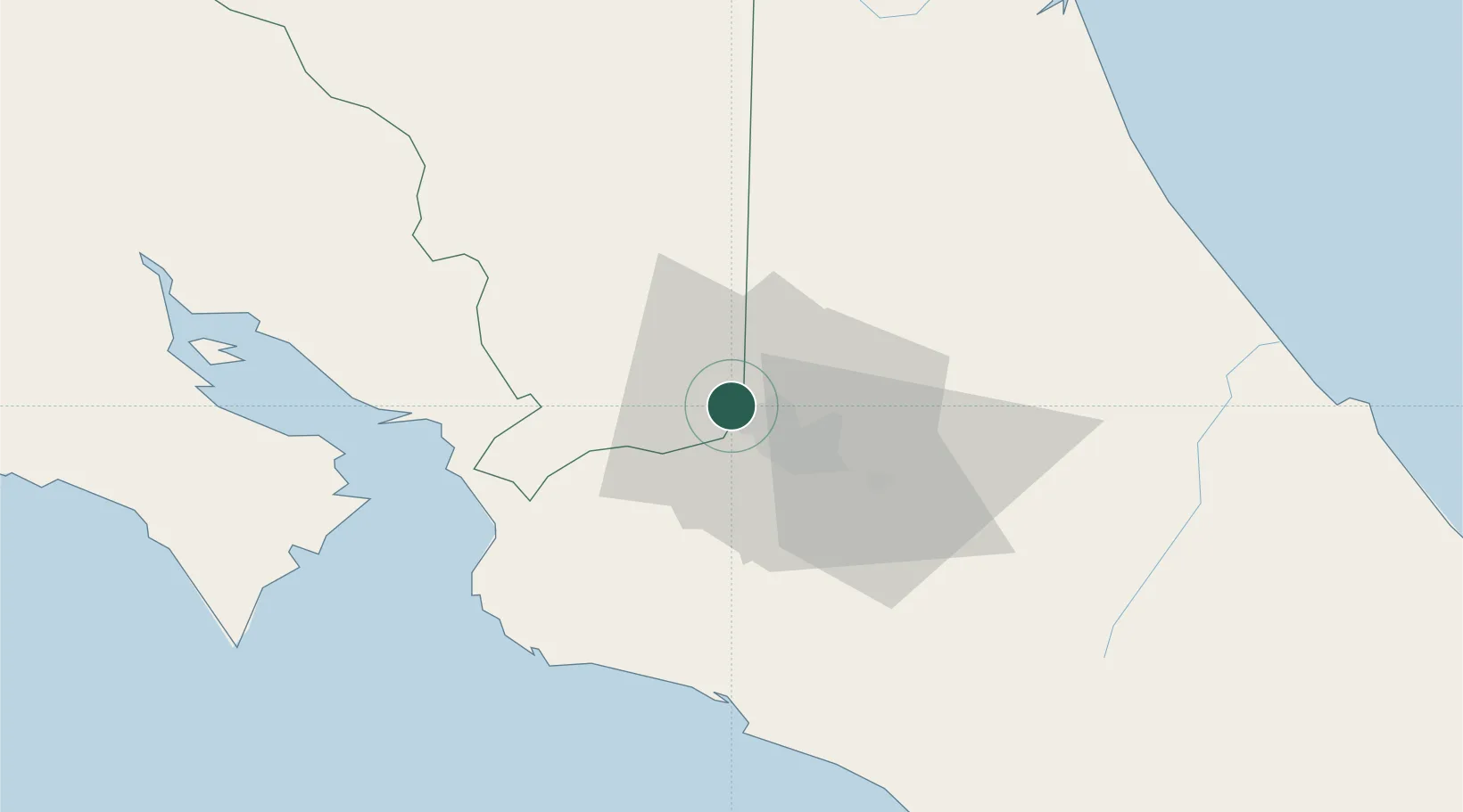
Location
Nearby Logistics Neighbours
Ports
- 1Puerto Caldera57 km
- 2Puerto Quepos63 km
- 3Puntarenas69 km
- 4Puerto Moin122 km
- 5Puerto Limon130 km
Airports
Trade Zones
DatabookThe Record of Consolidated Knowledge
Costa Rica beyond logistics?