Large airport · China

Chengdu Shuangliu International AirportZUUU
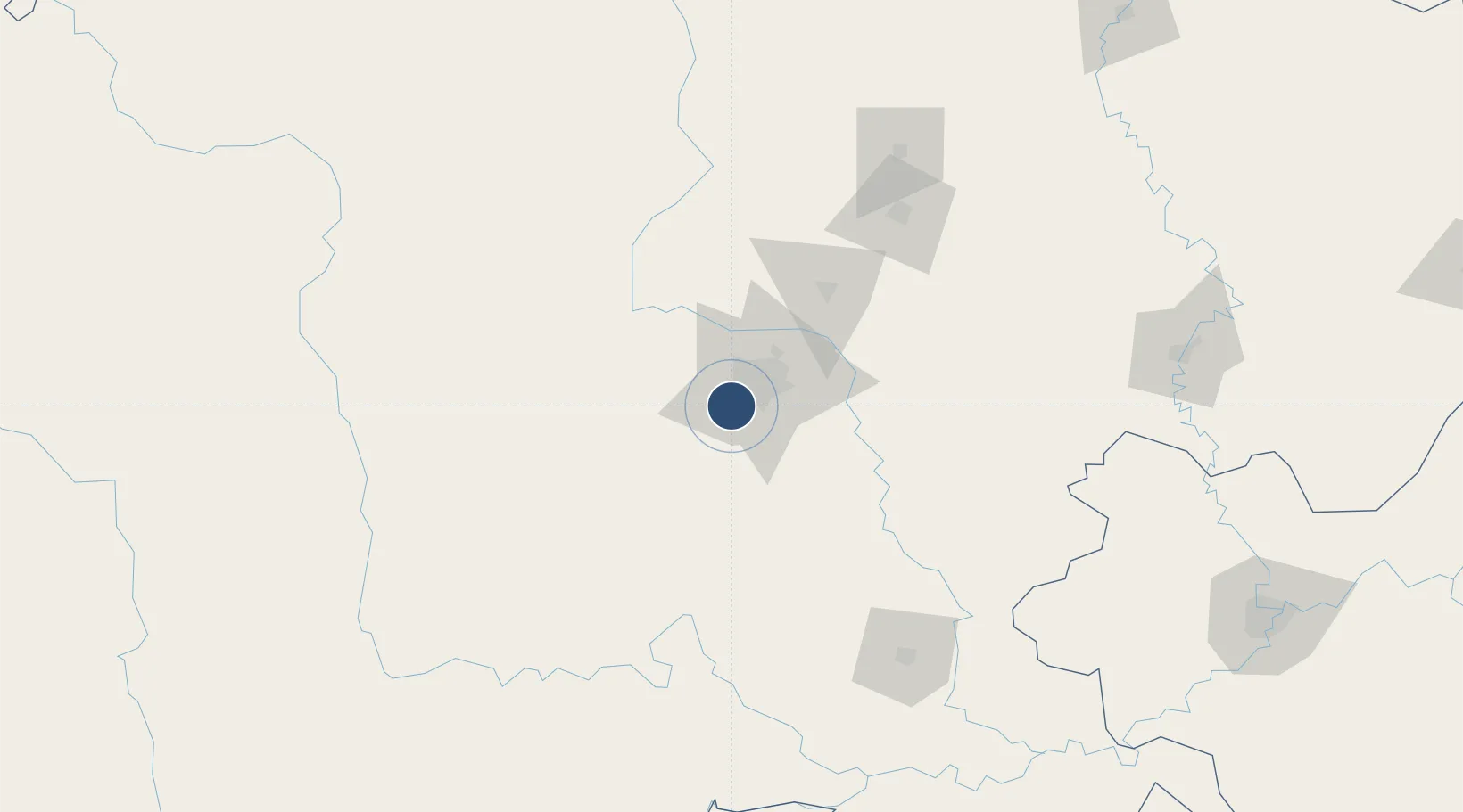
30.5583°, 103.9460°
11,811 ft
Longest runway
2
Runways
1,625 ft
Elevation

Runway & Layout

Chengdu Shuangliu International Airport runway & taxiway layout
Runway & taxiway layout — OpenStreetMap (ODbL) / OurAirports

Radio Frequencies

ATIS
128.6 MHz
TWR
123 MHz
CHENGDU TWR
GND
121.85 MHz
CHENGDU GND
APP
119.7 MHz
CHENGDU APP AREA 2
APP
125.6 MHz
CHENGDU APP AREA 1
OurAirports

Navaids

BHS VOR-DME Baihesi 117.90 MHz
CTU VOR-DME Shuangliu 115.70 MHz
OurAirports

Runways · 2

RunwayDimensions SurfaceTrue headingLit
02L/20R 11,811 × 148ft Asphalt 024°
02R/20L 11,811 × 197ft Concrete 024°
OurAirports

Airport Specifications

IATA code
CTU
OurAirports
ICAO code
ZUUU
OurAirports
Airport class
Large airport
OurAirports
Scheduled service
Yes
OurAirports
Runway surface
Asphalt
OurAirports
Served city
Chengdu (Shuangliu)
OurAirports

Location

Location of ZUUU
Natural Earth 10m (public domain) · Sichuan · ZUUU · 30.56, 103.95GoogleOSMYandex

Nearby Logistics Neighbours

Airports
  1. 1Chengdu Huangtianba Air Base16 km
  2. 2Qionglai Air Base47 km
  3. 3Chengdu Tianfu International Airport55 km
  4. 4Guanghan Airport57 km
  5. 5Chengdu Huaizhou Airport57 km
Nearest neighbours — logibook spatial index (haversine) over the source coordinates
Cities
  1. 1Chengdu19 km
  2. 2Tianfu, Chengdu56 km
  3. 3Deyang77 km
  4. 4Ziyang81 km
  5. 5Leshan109 km
Nearest neighbours — logibook spatial index (haversine) over the source coordinates
Ports
  1. 1Fang-Cheng1073 km
  2. 2Qinzhou1085 km
  3. 3Hai Phong1107 km
  4. 4Cam Pha1113 km
  5. 5Hon Gai1113 km
Nearest neighbours — logibook spatial index (haversine) over the source coordinates
Trade Zones
  1. 1Chengdu Export Processing Zone13 km
  2. 2Xinjin Industrial Park19 km
  3. 3Jinniu High-Tech Industrial Park28 km
  4. 4Qinglong Economic Development Zone29 km
  5. 5Qingbaijiang Economic Development Zone43 km
Nearest neighbours — logibook spatial index (haversine) over the source coordinates
DatabookThe Record of Consolidated Knowledge
China beyond logistics?
Browse databook

All Sources

AirportsOurAirports
Public domain
Portsthe NGA World Port Index
Public domain (US gov)
LocationsUN/LOCODE
UN/LOCODE — free
Trade Zonesthe World Bank SEZ database
CC BY 4.0
Trade ZonesOpen Zone Map
CC BY
InfrastructureOpenStreetMap
ODbL 1.0
← China airports