Transport Functions
Port
Hub Profile
Place type
Populated place
Region
Zhejiang
Time zone
Asia/Shanghai
Elevation
115 m
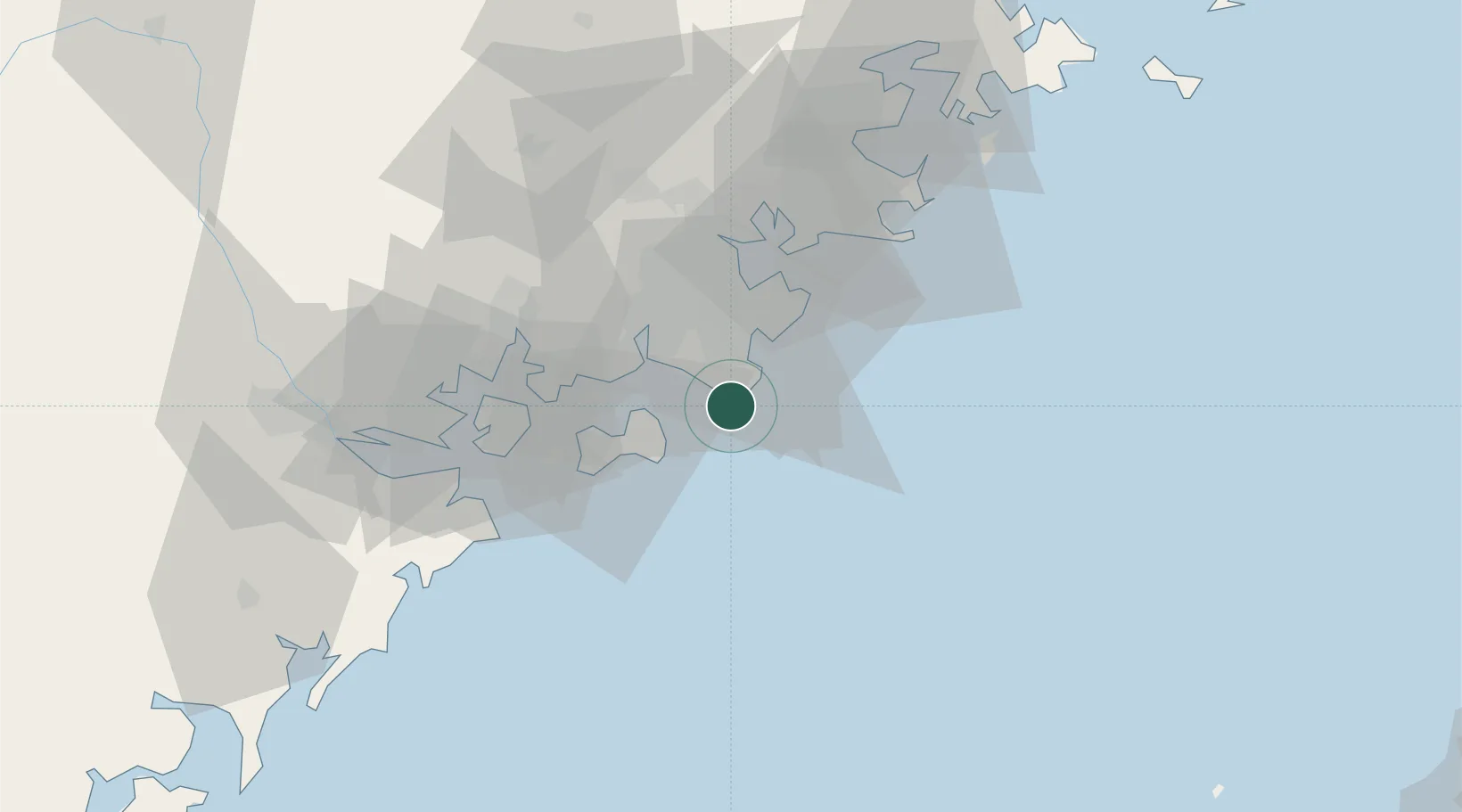
Location
Nearby Logistics Neighbours
Airports
- 1Kinmen Airport27 km
- 2Quanzhou Jinjiang International Airport29 km
- 3Xiamen Gaoqi International Airport48 km
- 4Huian Air Base59 km
- 5Longtian Air Base144 km
Trade Zones
DatabookThe Record of Consolidated Knowledge
China beyond logistics?