UN/LOCODE hub · China
CNXMG

Xiamen Pt

24.3500°, 118.2000°
1
Transport functions

Transport Functions

Port
Xiamen Pt is also a profiled seaport →
UN/LOCODE

Hub Profile

Region
FJ
GeoNames

Location

Location of CNXMG
Natural Earth 10m (public domain) · FJ · CNXMG · 24.35, 118.20GoogleOSMYandex

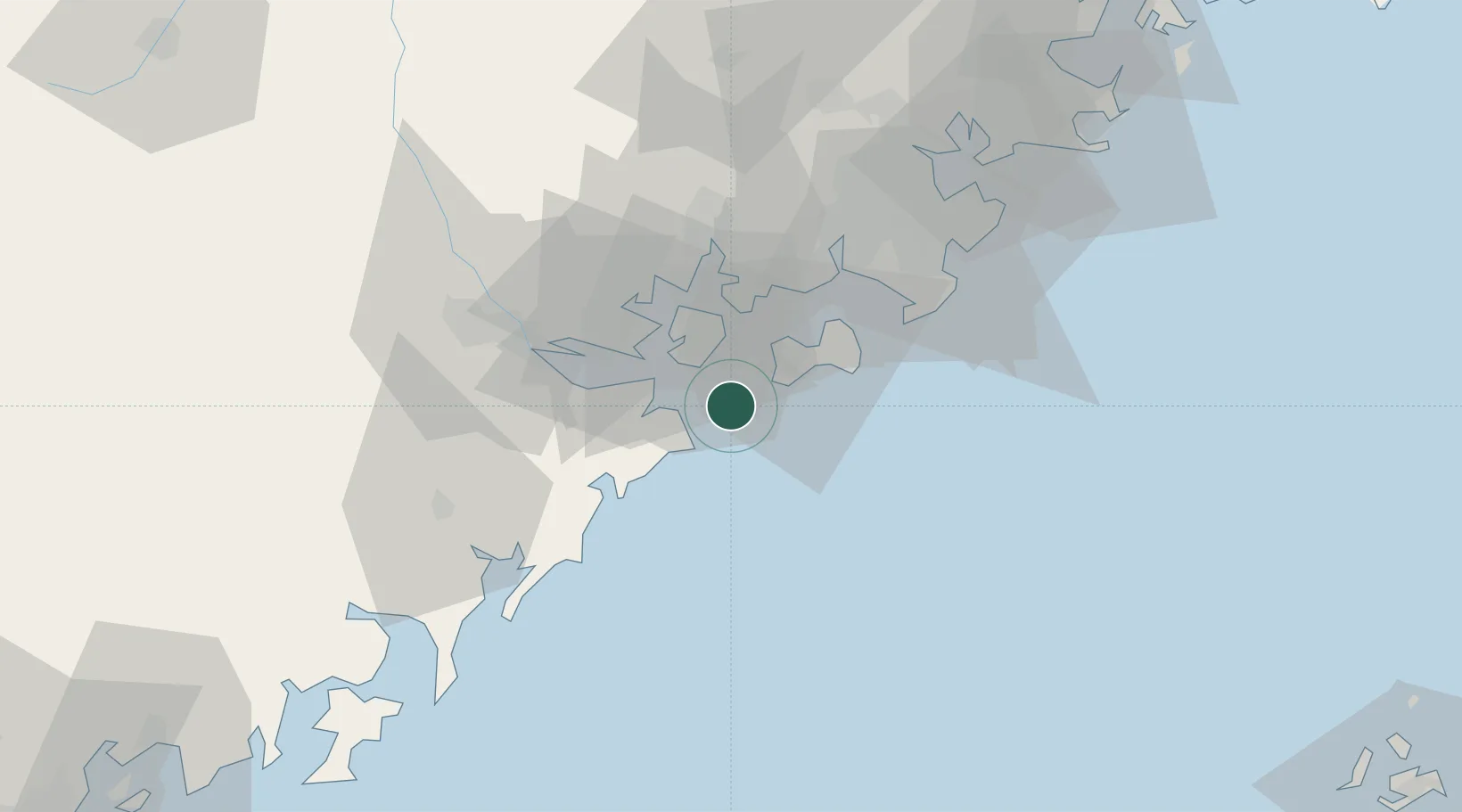
Nearby Logistics Neighbours

Cities
  1. 1Xiamen20 km
  2. 2Dadeng I.24 km
  3. 3Jimei,Xiamen28 km
  4. 4Xiang'an, Xiamen32 km
  5. 5Shijing38 km
Nearest neighbours — logibook spatial index (haversine) over the source coordinates
Ports
  1. 1Zhangzhou37 km
  2. 2Quanzhou72 km
  3. 3Dongshan97 km
  4. 4Xiuyu126 km
  5. 5Chaozhou140 km
Nearest neighbours — logibook spatial index (haversine) over the source coordinates
Airports
  1. 1Kinmen Airport18 km
  2. 2Xiamen Gaoqi International Airport23 km
  3. 3Quanzhou Jinjiang International Airport63 km
  4. 4Huian Air Base97 km
  5. 5Penghu Magong Airport169 km
Nearest neighbours — logibook spatial index (haversine) over the source coordinates
Trade Zones
  1. 1Longhai Economic Development Zone18 km
  2. 2Xiamen Export Processing Zone23 km
  3. 3Tongan Industrial Park39 km
  4. 4Xiangan Industrial Park44 km
  5. 5Changtai Economic Development Zone50 km
Nearest neighbours — logibook spatial index (haversine) over the source coordinates
DatabookThe Record of Consolidated Knowledge
China beyond logistics?
Browse databook

All Sources

LocationsUN/LOCODE
UN/LOCODE — free
Portsthe NGA World Port Index
Public domain (US gov)
AirportsOurAirports
Public domain
Trade Zonesthe World Bank SEZ database
CC BY 4.0
Trade ZonesOpen Zone Map
CC BY
← China locations