Transport Functions
Port
Hub Profile
Place type
Populated place
Region
Fujian
Population
4,000
Time zone
Asia/Shanghai
Elevation
16 m
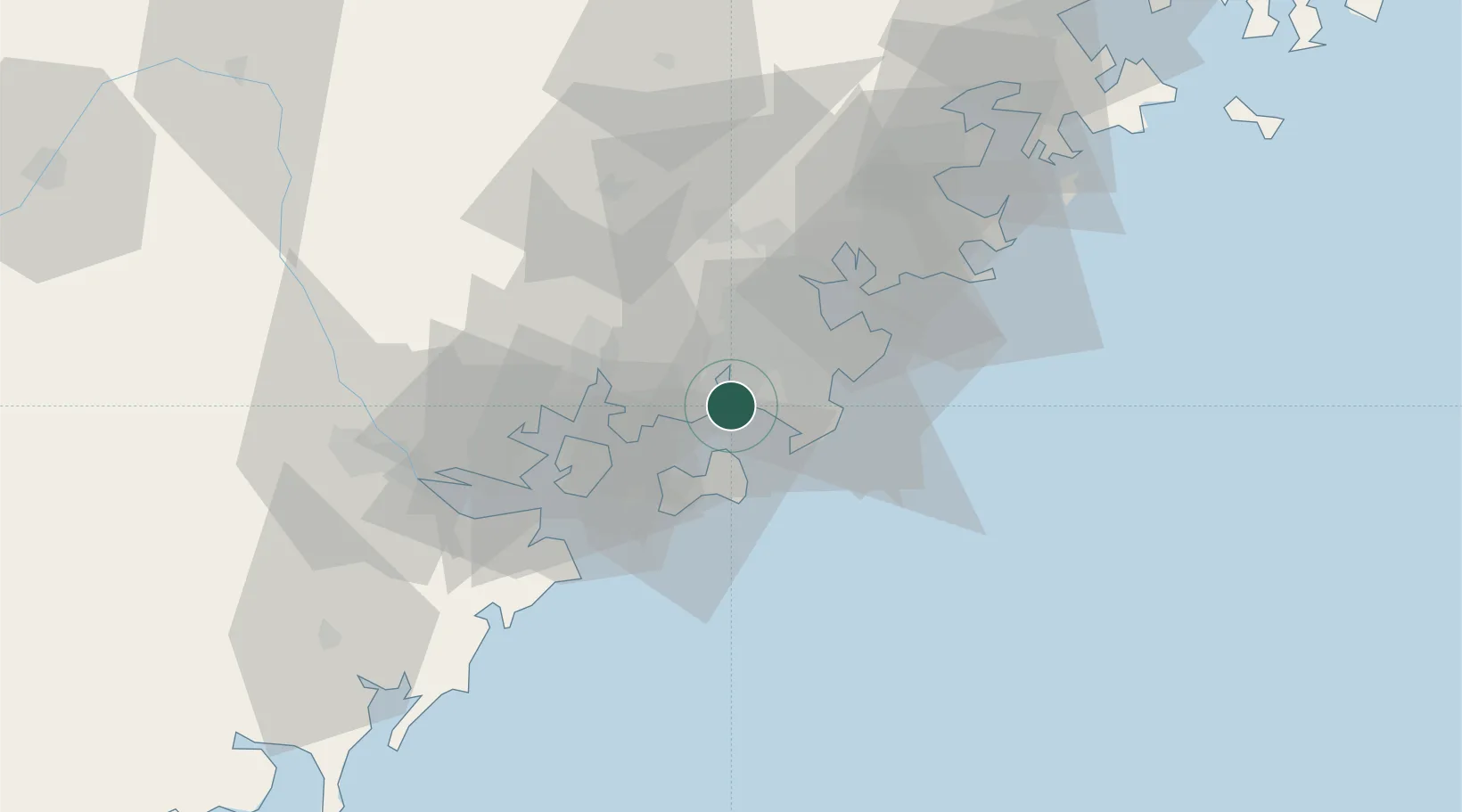
Location
Nearby Logistics Neighbours
Cities
- 1Dongshi7 km
- 2Dadeng I.15 km
- 3Jinjiang Dry Port19 km
- 4Xiang'an, Xiamen19 km
- 5Weitou19 km
Airports
- 1Kinmen Airport22 km
- 2Quanzhou Jinjiang International Airport25 km
- 3Xiamen Gaoqi International Airport32 km
- 4Huian Air Base59 km
- 5Longtian Air Base148 km
Trade Zones
DatabookThe Record of Consolidated Knowledge
China beyond logistics?