Transport Functions
Port
Hub Profile
Place type
District seat
Region
Heilongjiang
Time zone
Asia/Shanghai
Elevation
57 m
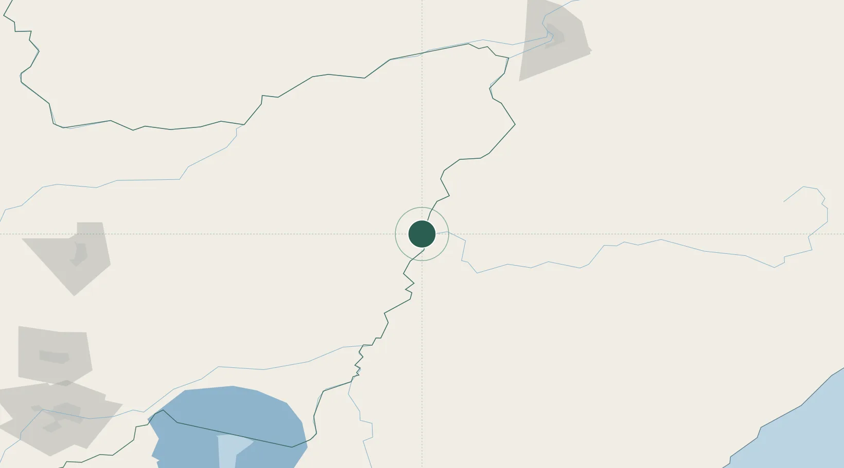
Location
Nearby Logistics Neighbours
Ports
- 1Vladivostok443 km
- 2Nakhodka453 km
- 3Vostochnyy456 km
- 4Slavyanka484 km
- 5Zarubino517 km
Airports
- 1Dalnerechensk Airport105 km
- 2Jiansanjiang Shidi Airport108 km
- 3Fuyuan Dongji Airport158 km
- 4Bichevaya Airport163 km
- 5Khabarovsk Novy Airport212 km
DatabookThe Record of Consolidated Knowledge
China beyond logistics?