Medium airport · China

Liupanshui Yuezhao AirportZUPS
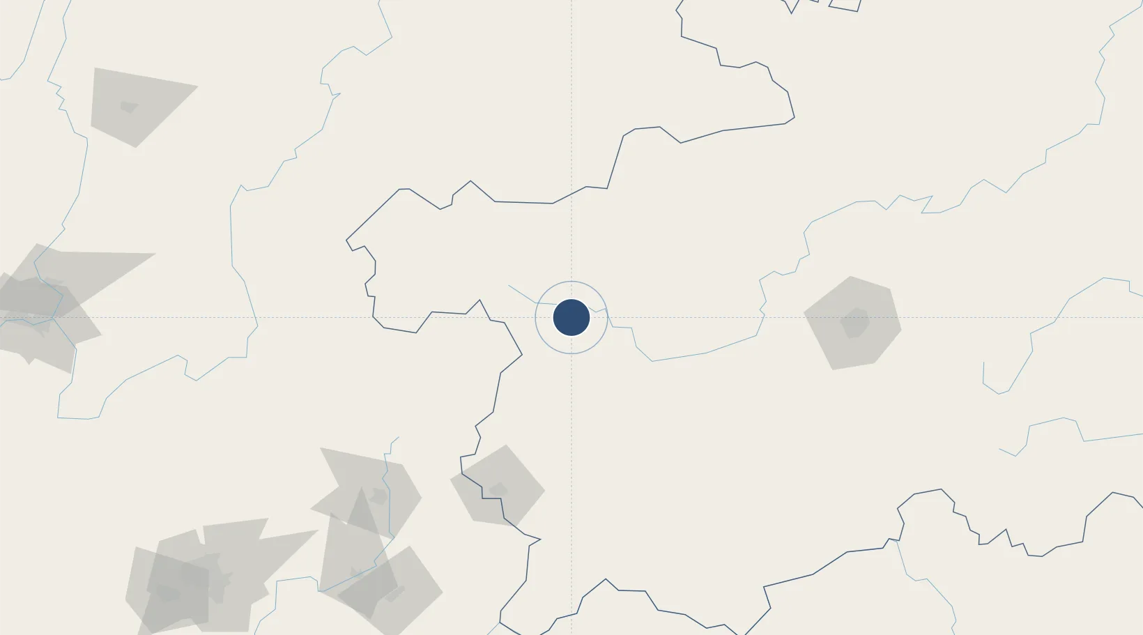
26.6094°, 104.9790°
8,202 ft
Longest runway
1
Runways

Runway & Layout

Liupanshui Yuezhao Airport runway & taxiway layout
Runway & taxiway layout — OpenStreetMap (ODbL) / OurAirports

Runways · 1

RunwayDimensions SurfaceTrue headingLit
05/23 8,202 × —ft
OurAirports

Airport Specifications

IATA code
LPF
OurAirports
ICAO code
ZUPS
OurAirports
Airport class
Medium airport
OurAirports
Scheduled service
Yes
OurAirports
Served city
Liupanshui (Zhongshan)
OurAirports

Location

Location of ZUPS
Natural Earth 10m (public domain) · Guizhou · ZUPS · 26.61, 104.98GoogleOSMYandex

Nearby Logistics Neighbours

Airports
  1. 1Bijie Feixiong Airport88 km
  2. 2Anshun Huangguoshu Airport97 km
  3. 3Zhaotong Zhaoyang Airport (Not fully opened)144 km
  4. 4Zhaotong Airport145 km
  5. 5Xingyi Wanfenglin Airport170 km
Nearest neighbours — logibook spatial index (haversine) over the source coordinates
Cities
  1. 1Anshun103 km
  2. 2Bacao150 km
  3. 3Baiceng154 km
  4. 4Guiyang171 km
  5. 5Qujing173 km
Nearest neighbours — logibook spatial index (haversine) over the source coordinates
Ports
  1. 1Fang-Cheng639 km
  2. 2Qinzhou654 km
  3. 3Hai Phong656 km
  4. 4Hon Gai664 km
  5. 5Cam Pha666 km
Nearest neighbours — logibook spatial index (haversine) over the source coordinates
Trade Zones
  1. 1Xuanwei Economic Development Zone100 km
  2. 2Yanjin Industrial Park108 km
  3. 3Weiyuan County Industrial Concentration Zone166 km
  4. 4Weicheng Economic Development Zone172 km
  5. 5Xuyong Resource Comprehensive Utilization Economic Park180 km
Nearest neighbours — logibook spatial index (haversine) over the source coordinates
DatabookThe Record of Consolidated Knowledge
China beyond logistics?
Browse databook

All Sources

AirportsOurAirports
Public domain
Portsthe NGA World Port Index
Public domain (US gov)
LocationsUN/LOCODE
UN/LOCODE — free
Trade Zonesthe World Bank SEZ database
CC BY 4.0
Trade ZonesOpen Zone Map
CC BY
InfrastructureOpenStreetMap
ODbL 1.0
← China airports