UN/LOCODE hub · China
CNBCG

Baiceng

25.4333°, 105.8000°
1
Transport functions

Transport Functions

Port
UN/LOCODE

Hub Profile

Place type
Populated place
GeoNames
Region
Guizhou
GeoNames
Time zone
Asia/Shanghai
GeoNames
Elevation
459 m
GeoNames

Location

Location of CNBCG
Natural Earth 10m (public domain) · Guizhou · CNBCG · 25.43, 105.80GoogleOSMYandex

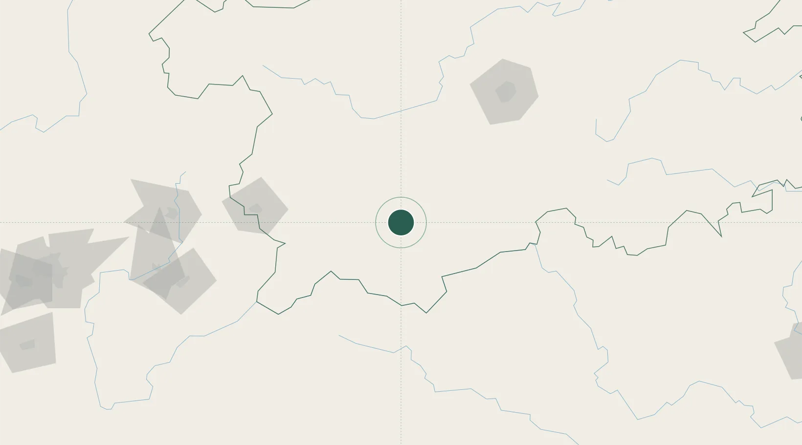
Nearby Logistics Neighbours

Cities
  1. 1Bacao4 km
  2. 2Anshun92 km
  3. 3Guiyang156 km
  4. 4Huangjiang159 km
  5. 5Qujing203 km
Nearest neighbours — logibook spatial index (haversine) over the source coordinates
Ports
  1. 1Fang-Cheng485 km
  2. 2Qinzhou500 km
  3. 3Hai Phong510 km
  4. 4Cam Pha515 km
  5. 5Hon Gai515 km
Nearest neighbours — logibook spatial index (haversine) over the source coordinates
Airports
  1. 1Anshun Huangguoshu Airport92 km
  2. 2Xingyi Wanfenglin Airport93 km
  3. 3Liupanshui Yuezhao Airport154 km
  4. 4Guiyang Longdongbao International Airport159 km
  5. 5Hechi Jinchengjiang Airport205 km
Nearest neighbours — logibook spatial index (haversine) over the source coordinates
Trade Zones
  1. 1Weiyuan County Industrial Concentration Zone96 km
  2. 2Weicheng Economic Development Zone150 km
  3. 3Nandan Non-ferrous Metal New Material Industrial Park183 km
  4. 4Shizong Industrial Park188 km
  5. 5Xuanwei Economic Development Zone188 km
Nearest neighbours — logibook spatial index (haversine) over the source coordinates
DatabookThe Record of Consolidated Knowledge
China beyond logistics?
Browse databook

All Sources

LocationsUN/LOCODE
UN/LOCODE — free
Portsthe NGA World Port Index
Public domain (US gov)
AirportsOurAirports
Public domain
Trade Zonesthe World Bank SEZ database
CC BY 4.0
Trade ZonesOpen Zone Map
CC BY
← China locations