Export Processing Zone · China

Rongcheng Industrial Park Active
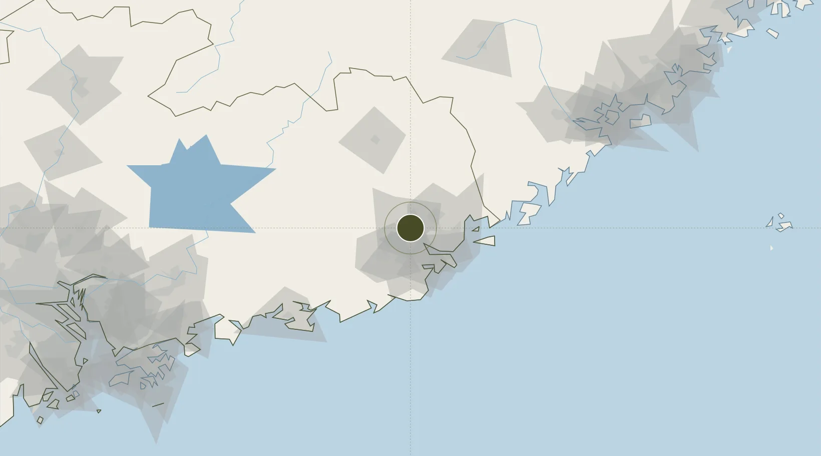
23.5504°, 116.4099°
200 ha
Zone area
69.0 km
Nearest port
9.5 km
Nearest airport

Gateway access

Nearest neighbours — logibook spatial index (haversine) over the source coordinates

Zone profile

Zone type
Export Processing Zone
Open Zone Map
Region
Guangdong
Open Zone Map
Status
Active
Open Zone Map
Management
Public
Open Zone Map
Operator
Working Committee of Rongcheng Industrial Park
Open Zone Map
Legal framework
Regulations of Guangdong Province on the Administration of Urban Controlled Detailed Planning
Open Zone Map

Location

Location of ozm-1062
Natural Earth 10m (public domain) · Guangdong · ozm-1062 · 23.55, 116.41GoogleOSMYandex

Nearby Logistics Neighbours

Ports
  1. 1Chaozhou69 km
  2. 2Dongshan114 km
  3. 3Xiamen196 km
  4. 4Huizhou215 km
  5. 5Zhangzhou217 km
Nearest neighbours — logibook spatial index (haversine) over the source coordinates
Airports
  1. 1Jieyang Chaoshan International Airport10 km
  2. 2Meizhou Meixian Changgangji International Airport85 km
  3. 3Huizhou Pingtan Airport193 km
  4. 4Xiamen Gaoqi International Airport206 km
  5. 5Kinmen Airport221 km
Nearest neighbours — logibook spatial index (haversine) over the source coordinates
Cities
  1. 1Quxi4 km
  2. 2Xiluzhen21 km
  3. 3Chaoyang Pt37 km
  4. 4Puning37 km
  5. 5Shantou45 km
Nearest neighbours — logibook spatial index (haversine) over the source coordinates
Trade Zones
  1. 1Jiedong Economic Development Zone3 km
  2. 2Chaozhou Economic Development Zone26 km
  3. 3Chaoan Economic Development Zone29 km
  4. 4Fengshun Economic Development Zone30 km
  5. 5Jieyang High-tech Industrial Development Zone30 km
Nearest neighbours — logibook spatial index (haversine) over the source coordinates
DatabookThe Record of Consolidated Knowledge
China beyond logistics?
Browse databook

All Sources

Trade ZonesOpen Zone Map
CC BY
Portsthe NGA World Port Index
Public domain (US gov)
AirportsOurAirports
Public domain
LocationsUN/LOCODE
UN/LOCODE — free
← China trade zones