Transport Functions
Road
Multimodal
Hub Profile
Region
GD
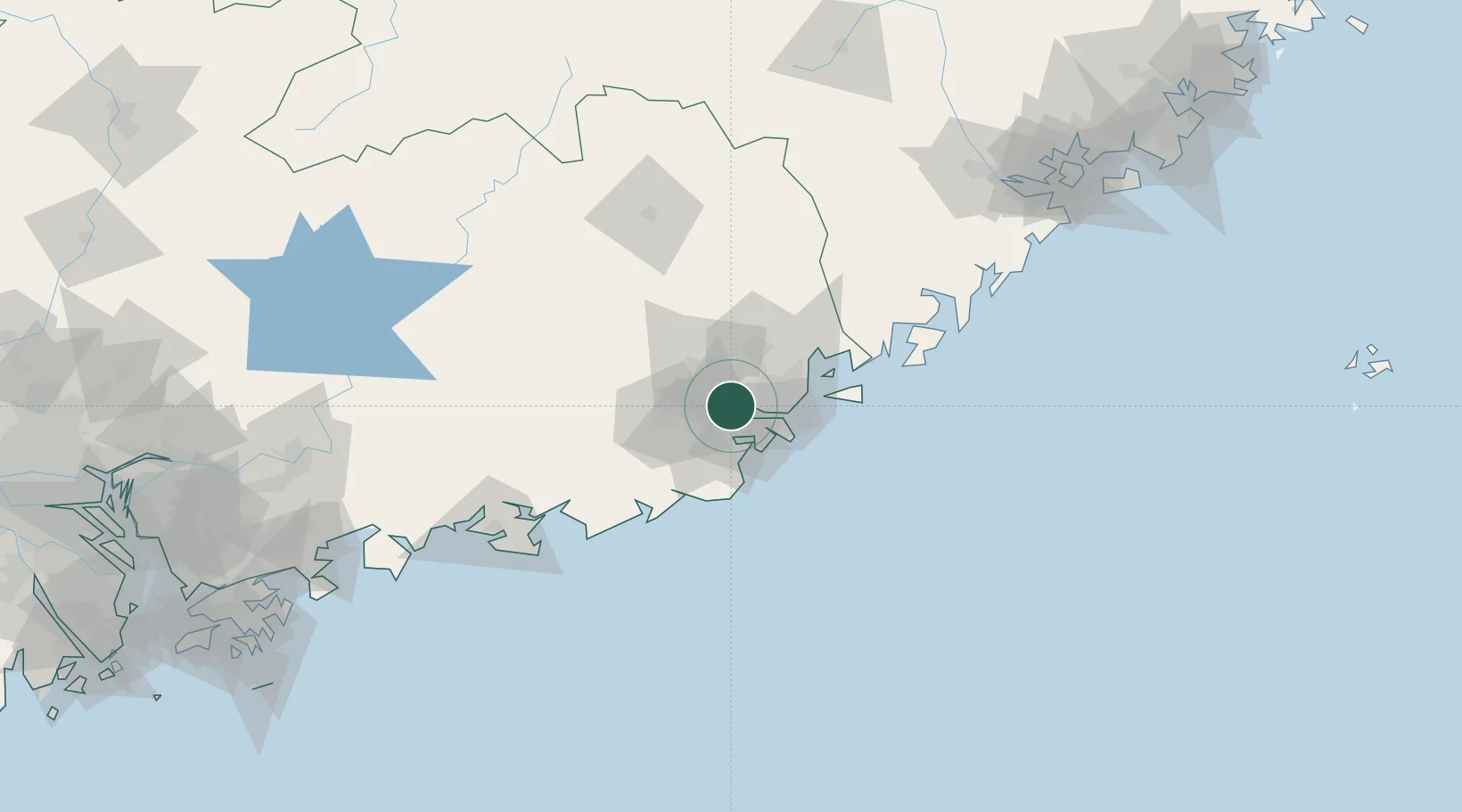
Location
Nearby Logistics Neighbours
Cities
- 1Chaoyang Pt17 km
- 2Quxi23 km
- 3Shantou27 km
- 4Guang'ao32 km
- 5Puning35 km
Airports
DatabookThe Record of Consolidated Knowledge
China beyond logistics?