Diversified Zone · China

Tancheng Economic Development Zone Active
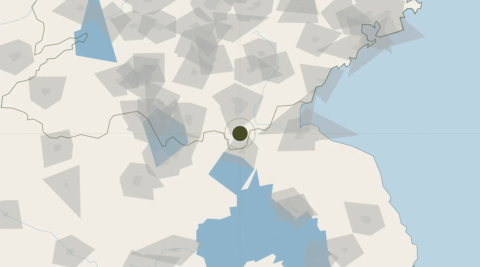
34.6371°, 118.3146°
2,100 ha
Zone area
104.4 km
Nearest port
47.1 km
Nearest airport

Gateway access

Nearest neighbours — logibook spatial index (haversine) over the source coordinates

Zone profile

Zone type
Diversified Zone
Open Zone Map
Region
Shandong
Open Zone Map
Status
Active
Open Zone Map
Management
Public
Open Zone Map
Operator
Management committee
Open Zone Map
Legal framework
In March 2006, it was approved as a provincial development zone by Shandong Provincial people's government
Open Zone Map

Location

Location of ozm-829
Natural Earth 10m (public domain) · Shandong · ozm-829 · 34.64, 118.31GoogleOSMYandex

Nearby Logistics Neighbours

Ports
  1. 1Lianyungang104 km
  2. 2Lanshan108 km
  3. 3Rizhao141 km
  4. 4Qingdao Gang236 km
  5. 5Yangzhou283 km
Nearest neighbours — logibook spatial index (haversine) over the source coordinates
Airports
  1. 1Linyi Qiyang Airport47 km
  2. 2Lianyungang Huaguoshan International Airport83 km
  3. 3Xuzhou Guanyin International Airport95 km
  4. 4Xuzhou Daguozhang Air Base108 km
  5. 5Huai'an Lianshui Airport120 km
Nearest neighbours — logibook spatial index (haversine) over the source coordinates
Cities
  1. 1Chizhou31 km
  2. 2Cangshan34 km
  3. 3Pizhou43 km
  4. 4Baimao50 km
  5. 5Linyi56 km
Nearest neighbours — logibook spatial index (haversine) over the source coordinates
Trade Zones
  1. 1Lanling Economic Development Zone36 km
  2. 2Linshu Economic Development Zone37 km
  3. 3Donghai High-tech Industrial Development Zone39 km
  4. 4Pizhou High-tech Industrial Development Zone42 km
  5. 5Pizhou Economic Development Zone44 km
Nearest neighbours — logibook spatial index (haversine) over the source coordinates
DatabookThe Record of Consolidated Knowledge
China beyond logistics?
Browse databook

All Sources

Trade ZonesOpen Zone Map
CC BY
Portsthe NGA World Port Index
Public domain (US gov)
AirportsOurAirports
Public domain
LocationsUN/LOCODE
UN/LOCODE — free
← China trade zones