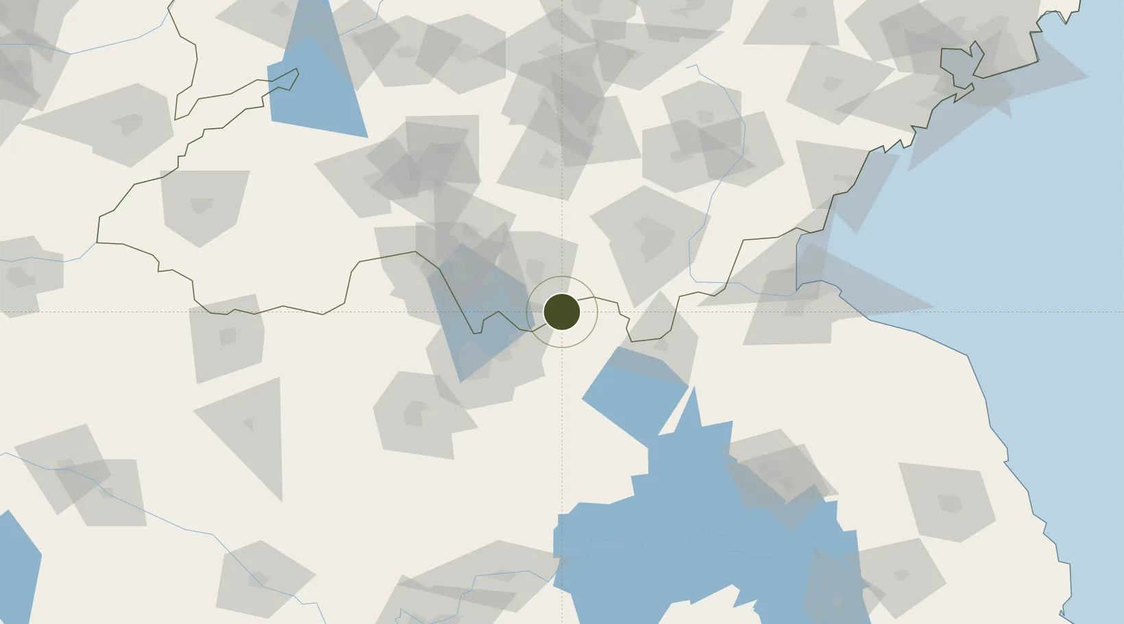
Export Processing Zone · China

Taierzhuang Economic Development Zone Active

34.5849°, 117.7317°
400 ha
Zone area
158.0 km
Nearest port
59.6 km
Nearest airport

Gateway access

Nearest neighbours — logibook spatial index (haversine) over the source coordinates

Zone profile

Zone type
Export Processing Zone
Open Zone Map
Region
Shandong
Open Zone Map
Status
Active
Open Zone Map
Management
Public
Open Zone Map
Operator
Working Committee of Taierzhuang Economic Development Zone
Open Zone Map
Legal framework
Lu Zheng Zi [2006] No. 71
Open Zone Map

Location

Location of ozm-1127
Natural Earth 10m (public domain) · Shandong · ozm-1127 · 34.58, 117.73GoogleOSMYandex

Nearby Logistics Neighbours

Ports
  1. 1Lianyungang158 km
  2. 2Lanshan159 km
  3. 3Rizhao189 km
  4. 4Qingdao Gang281 km
  5. 5Nanjing294 km
Nearest neighbours — logibook spatial index (haversine) over the source coordinates
Airports
  1. 1Xuzhou Daguozhang Air Base60 km
  2. 2Xuzhou Guanyin International Airport61 km
  3. 3Linyi Qiyang Airport81 km
  4. 4Lianyungang Huaguoshan International Airport134 km
  5. 5Jining Da'an Airport149 km
Nearest neighbours — logibook spatial index (haversine) over the source coordinates
Cities
  1. 1Chizhou25 km
  2. 2Pizhou38 km
  3. 3Cangshan41 km
  4. 4Zaozhuang45 km
  5. 5Linyi73 km
Nearest neighbours — logibook spatial index (haversine) over the source coordinates
Trade Zones
  1. 1Xuzhou Industrial Park32 km
  2. 2Xuzhou Industrial Park32 km
  3. 3Pizhou Economic Development Zone33 km
  4. 4Lanling Economic Development Zone41 km
  5. 5Pizhou High-tech Industrial Development Zone41 km
Nearest neighbours — logibook spatial index (haversine) over the source coordinates
DatabookThe Record of Consolidated Knowledge
China beyond logistics?
Browse databook

All Sources

Trade ZonesOpen Zone Map
CC BY
Portsthe NGA World Port Index
Public domain (US gov)
AirportsOurAirports
Public domain
LocationsUN/LOCODE
UN/LOCODE — free
← China trade zones