Transport Functions
Rail
Road
Multimodal
Hub Profile
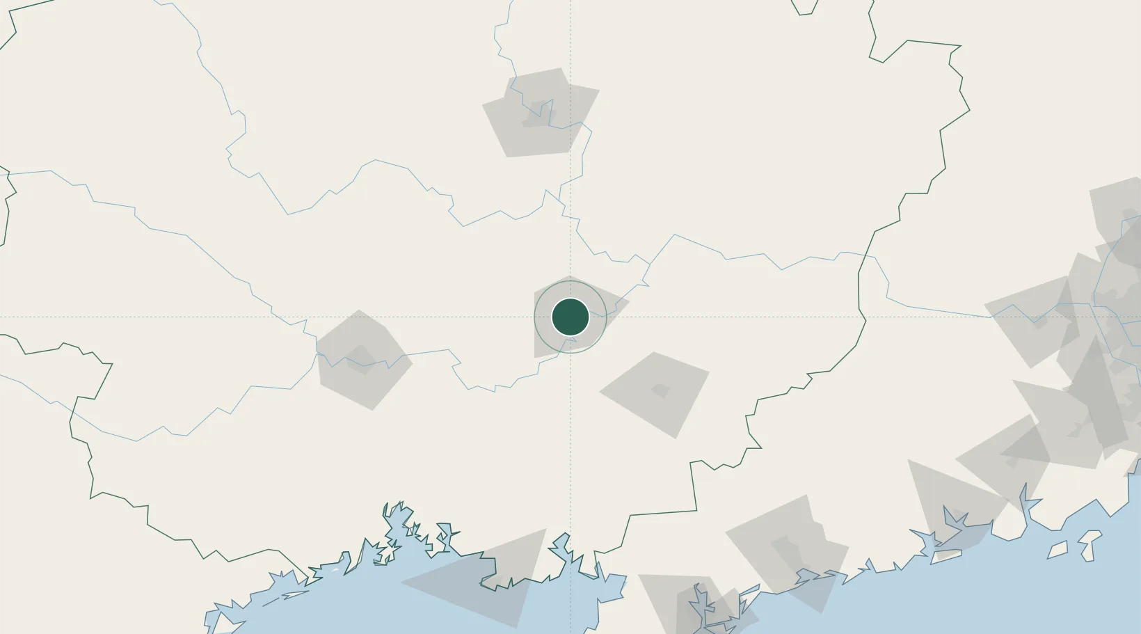
Place type
Populated place
Region
Guangxi
Time zone
Asia/Shanghai
Elevation
100 m
Location
Nearby Logistics Neighbours
Ports
- 1Qinzhou183 km
- 2Beihai186 km
- 3Fang-Cheng196 km
- 4Zhanjiang225 km
- 5Shui Dong234 km
Airports
DatabookThe Record of Consolidated Knowledge
China beyond logistics?