UN/LOCODE hub · China
CNHSN

Heshan Pt

22.8024°, 113.0028°
1
Transport functions

Transport Functions

Port
UN/LOCODE

Hub Profile

Region
GD
GeoNames
Logistics facilities
2
UN/LOCODE

Location

Location of CNHSN
Natural Earth 10m (public domain) · GD · CNHSN · 22.80, 113.00GoogleOSMYandex

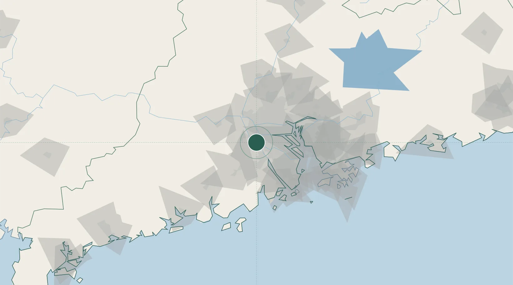
Nearby Logistics Neighbours

Cities
  1. 1Hetang22 km
  2. 2Foshan New Pt24 km
  3. 3Shiwan24 km
  4. 4Beijiao24 km
  5. 5Xingang28 km
Nearest neighbours — logibook spatial index (haversine) over the source coordinates
Ports
  1. 1Guangzhou42 km
  2. 2Huangpu53 km
  3. 3Huangpuxingang58 km
  4. 4Zhuhai87 km
  5. 5Macau90 km
Nearest neighbours — logibook spatial index (haversine) over the source coordinates
Airports
  1. 1Foshan Shadi Airport32 km
  2. 2Guangzhou Baiyun International Airport72 km
  3. 3Shenzhen Bao'an International Airport84 km
  4. 4Macau International Airport95 km
  5. 5Zhuhai Jinwan Airport97 km
Nearest neighbours — logibook spatial index (haversine) over the source coordinates
DatabookThe Record of Consolidated Knowledge
China beyond logistics?
Browse databook

All Sources

LocationsUN/LOCODE
UN/LOCODE — free
Portsthe NGA World Port Index
Public domain (US gov)
AirportsOurAirports
Public domain
Trade Zonesthe World Bank SEZ database
CC BY 4.0
Trade ZonesOpen Zone Map
CC BY
← China locations