Export Processing Zone · China
Shimen Economic Development Zone Active
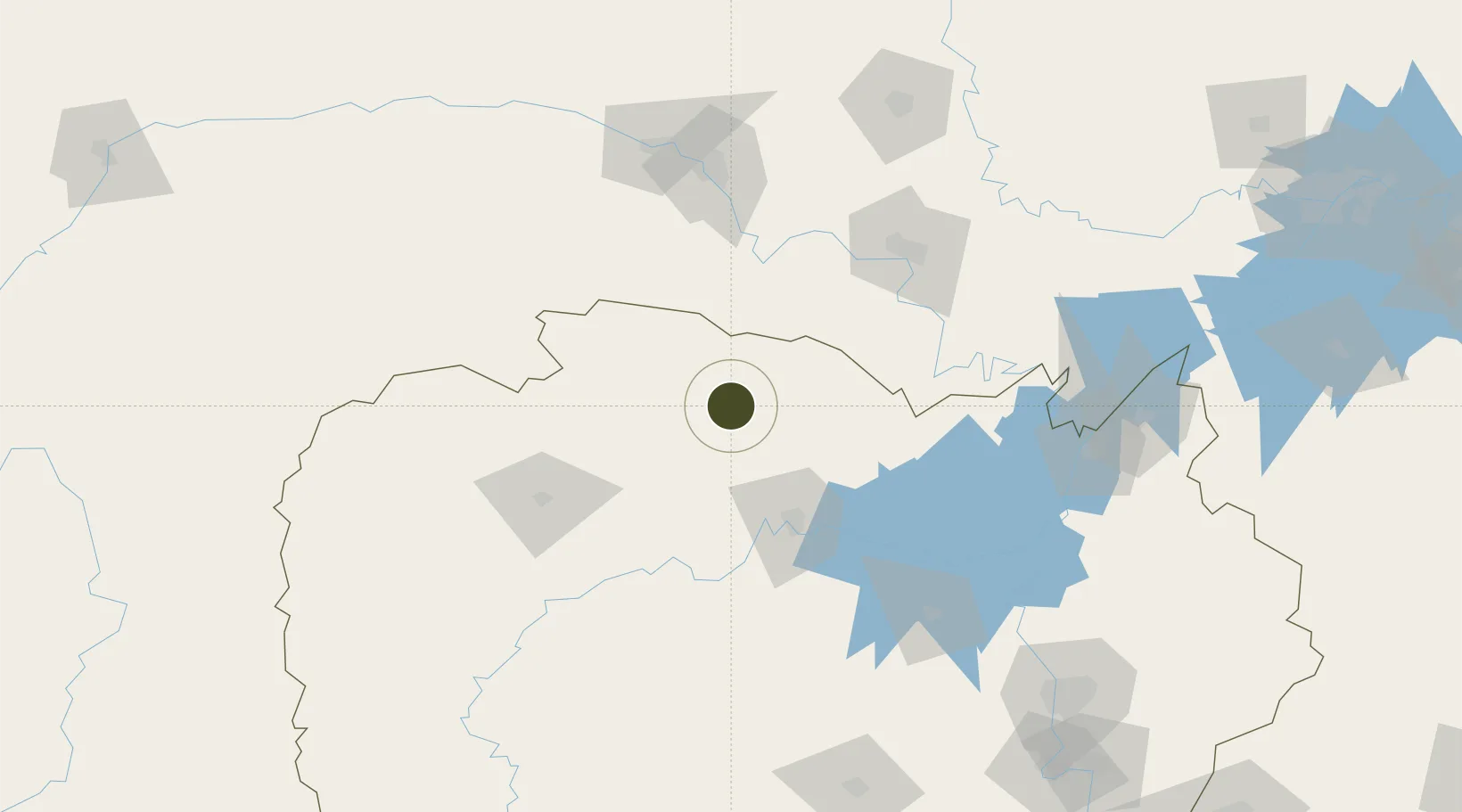
29.5893°, 111.3973°
614 ha
Zone area
298.9 km
Nearest port
78.2 km
Nearest airport
Gateway access
Zone profile
Zone type
Export Processing Zone
Region
Hunan
Status
Active
Management
Public
Operator
Working Committee of Shimen Economic Development Zone
Legal framework
Work Summary of Shimen County Economic Development Zone in 2019
Location
Nearby Logistics Neighbours
Ports
- 1Hankow299 km
- 2Guangzhou743 km
- 3Huangpu751 km
- 4Nanjing755 km
- 5Huangpuxingang757 km
Airports
- 1Changde Taohuayuan Airport78 km
- 2Zhangjiajie Hehua International Airport107 km
- 3Yichang Sanxia Airport108 km
- 4Jingzhou Shashi Airport128 km
- 5Dangyang Air Base140 km
Cities
- 1Changde72 km
- 2Baiyang95 km
- 3Zhangjiajie108 km
- 4Jingzhou Pt115 km
- 5Chenglingji Pt171 km
DatabookThe Record of Consolidated Knowledge
China beyond logistics?