UN/LOCODE hub · Chile
CLZOS

Osorno

-40.5667°, -73.1500°
135,773
Population
4
Transport functions

Transport Functions

Port
Rail
Road
Airport
UN/LOCODE

Hub Profile

Place type
Provincial seat
GeoNames
Region
Los Lagos Region
GeoNames
Population
135,773
GeoNames
Time zone
America/Santiago
GeoNames
Elevation
37 m
GeoNames

Location

Location of CLZOS
Natural Earth 10m (public domain) · Los Lagos Region · CLZOS · -40.57, -73.15GoogleOSMYandex

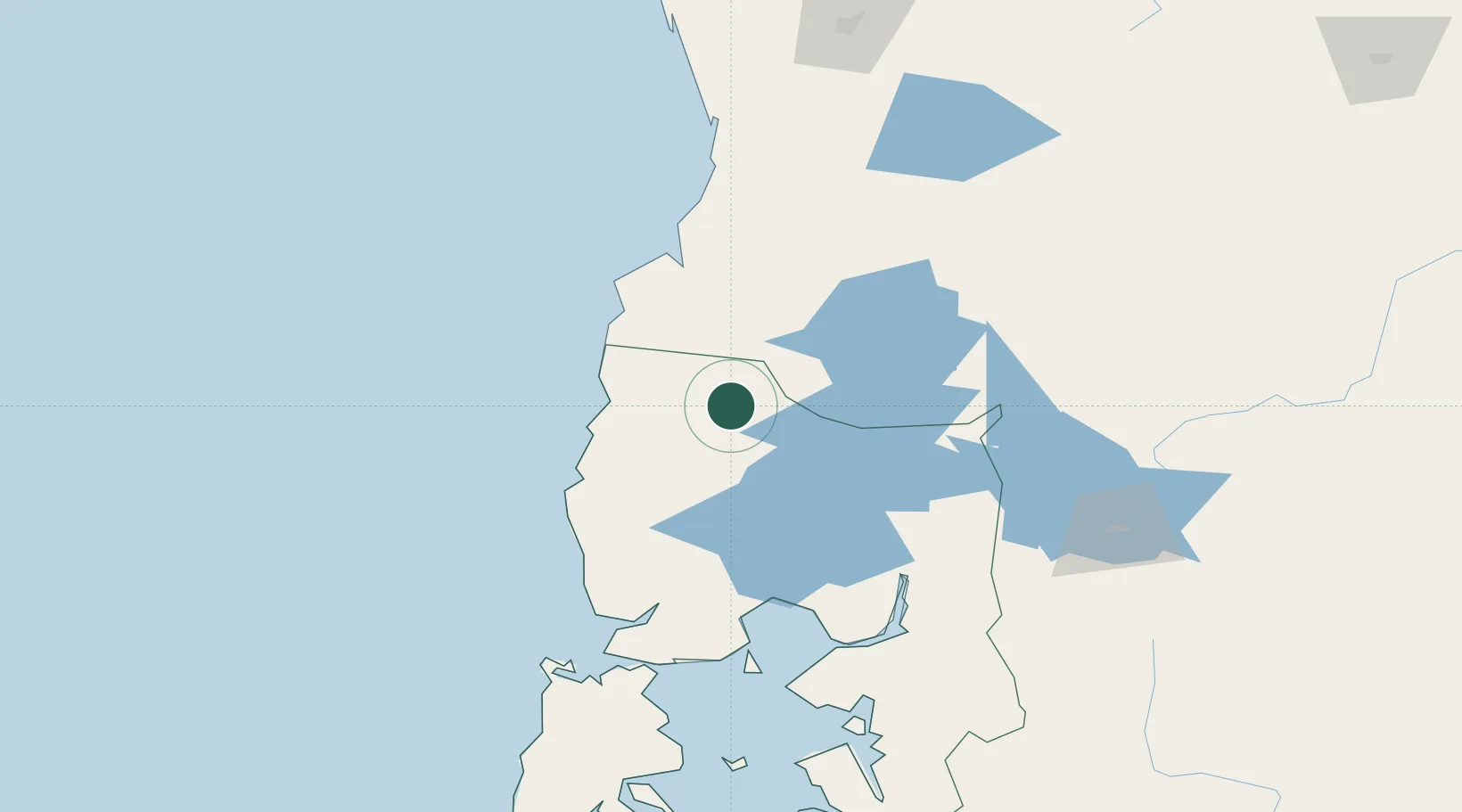
Nearby Logistics Neighbours

Cities
  1. 1Río Negro25 km
  2. 2Río Bueno32 km
  3. 3La Unión32 km
  4. 4Purranque39 km
  5. 5Puyehue46 km
Nearest neighbours — logibook spatial index (haversine) over the source coordinates
Ports
  1. 1Puerto De Corral82 km
  2. 2Bahia De Valdivia86 km
  3. 3Puerto Montt103 km
  4. 4Puerto Quemchi178 km
  5. 5Puerto Castro219 km
Nearest neighbours — logibook spatial index (haversine) over the source coordinates
Airports
  1. 1Cañal Bajo Carlos Hott Siebert Airport9 km
  2. 2Las Marías Airport86 km
  3. 3El Tepual International Airport98 km
  4. 4Pichoy Airport102 km
  5. 5Pucón Airport177 km
Nearest neighbours — logibook spatial index (haversine) over the source coordinates
Trade Zones
  1. 1Zona Franca Zapala (Zapala Free Trade Zone)321 km
  2. 2Comodoro Free Trade Zone745 km
  3. 3Comodoro Free Trade Zone Zona Franca Chubut746 km
  4. 4La Zona Franca Santa Cruz (ZFSC) - Caleta Olivia798 km
  5. 5Zona Franca Mendoza Free Trade Zone913 km
Nearest neighbours — logibook spatial index (haversine) over the source coordinates
DatabookThe Record of Consolidated Knowledge
Chile beyond logistics?
Browse databook

All Sources

LocationsUN/LOCODE
UN/LOCODE — free
LocationsGeoNames
CC BY 4.0
Portsthe NGA World Port Index
Public domain (US gov)
AirportsOurAirports
Public domain
Trade Zonesthe World Bank SEZ database
CC BY 4.0
Trade ZonesOpen Zone Map
CC BY
← Chile locations