UN/LOCODE hub · Chile
CLPYH

Puyehue

-40.6667°, -72.6167°
3,932
Population
2
Transport functions

Transport Functions

Rail
Road
UN/LOCODE

Hub Profile

Place type
Urban district
GeoNames
Region
Los Ríos Region
GeoNames
Population
3,932
GeoNames
Time zone
America/Santiago
GeoNames
Elevation
211 m
GeoNames

Location

Location of CLPYH
Natural Earth 10m (public domain) · Los Ríos Region · CLPYH · -40.67, -72.62GoogleOSMYandex

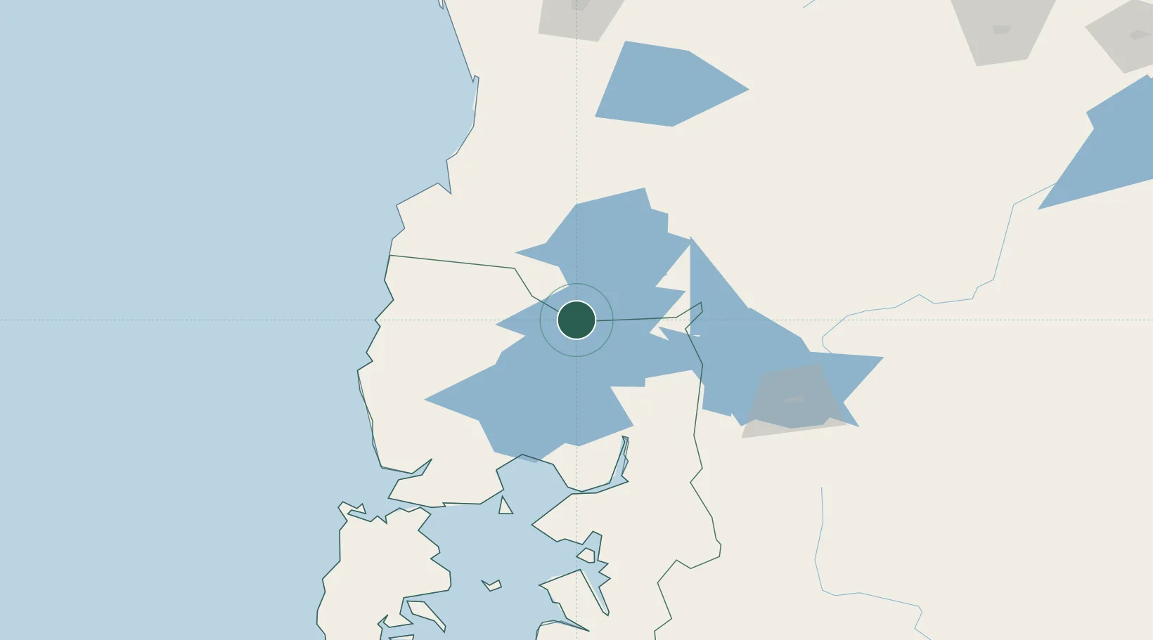
Nearby Logistics Neighbours

Cities
  1. 1Lago Ranco40 km
  2. 2Puerto Octay41 km
  3. 3Osorno46 km
  4. 4Río Bueno49 km
  5. 5Río Negro54 km
Nearest neighbours — logibook spatial index (haversine) over the source coordinates
Ports
  1. 1Puerto Montt95 km
  2. 2Bahia De Valdivia110 km
  3. 3Puerto De Corral113 km
  4. 4Puerto Quemchi180 km
  5. 5Puerto Castro224 km
Nearest neighbours — logibook spatial index (haversine) over the source coordinates
Airports
  1. 1Cañal Bajo Carlos Hott Siebert Airport38 km
  2. 2El Tepual International Airport95 km
  3. 3Las Marías Airport110 km
  4. 4Pichoy Airport120 km
  5. 5Teniente Luis Candelaria International Airport134 km
Nearest neighbours — logibook spatial index (haversine) over the source coordinates
Trade Zones
  1. 1Zona Franca Zapala (Zapala Free Trade Zone)292 km
  2. 2Comodoro Free Trade Zone710 km
  3. 3Comodoro Free Trade Zone Zona Franca Chubut711 km
  4. 4La Zona Franca Santa Cruz (ZFSC) - Caleta Olivia765 km
  5. 5Zona Franca Mendoza Free Trade Zone905 km
Nearest neighbours — logibook spatial index (haversine) over the source coordinates
DatabookThe Record of Consolidated Knowledge
Chile beyond logistics?
Browse databook

All Sources

LocationsUN/LOCODE
UN/LOCODE — free
LocationsGeoNames
CC BY 4.0
Portsthe NGA World Port Index
Public domain (US gov)
AirportsOurAirports
Public domain
Trade Zonesthe World Bank SEZ database
CC BY 4.0
Trade ZonesOpen Zone Map
CC BY
← Chile locations