Large airport · Chile

El Tepual International AirportSCTE
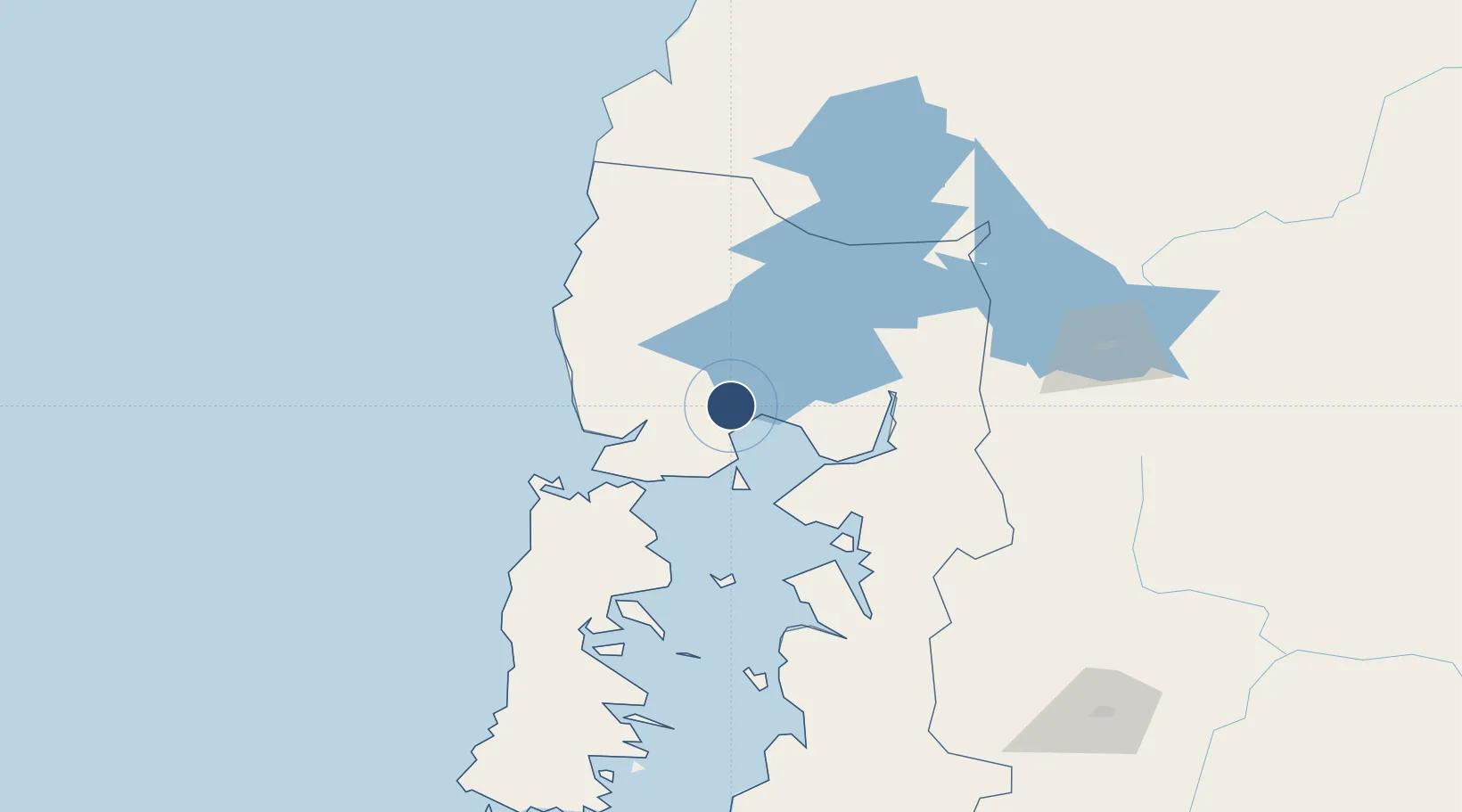
-41.4431°, -73.0941°
8,694 ft
Longest runway
1
Runways
294 ft
Elevation

Runway & Layout

El Tepual International Airport runway & taxiway layout
Runway & taxiway layout — OpenStreetMap (ODbL) / OurAirports

Radio Frequencies

TWR
118.1 MHz
PUERTO MONTT TWR
GND
121.9 MHz
APP
123.7 MHz
PUERTO MONTT APP
CNTR
128.3 MHz
PUERTO MONTT CNTR
RDO
126.9 MHz
PUERTO MONTT RDO
OurAirports

Navaids

MO NDB Trapen 325 kHz
MON VOR-DME Puerto Montt 115.70 MHz
ON NDB El Tepual 305 kHz
TEP NDB Puerto Montt 400 kHz
OurAirports

Runways · 1

RunwayDimensions SurfaceTrue headingLit
17/35 8,694 × 148ft Concrete 182°
OurAirports

Airport Specifications

IATA code
PMC
OurAirports
ICAO code
SCTE
OurAirports
Airport class
Large airport
OurAirports
Scheduled service
Yes
OurAirports
Runway surface
Concrete
OurAirports
Served city
Puerto Montt
OurAirports

Location

Location of SCTE
Natural Earth 10m (public domain) · Los Lagos · SCTE · -41.44, -73.09GoogleOSMYandex

Nearby Logistics Neighbours

Airports
  1. 1Cañal Bajo Carlos Hott Siebert Airport93 km
  2. 2Mocopulli Airport112 km
  3. 3El Bolsón Airfield141 km
  4. 4Nuevo Chaitén Airport150 km
  5. 5Teniente Luis Candelaria International Airport165 km
Nearest neighbours — logibook spatial index (haversine) over the source coordinates
Cities
  1. 1Puerto Montt8 km
  2. 2Puerto Varas17 km
  3. 3Llanquihue23 km
  4. 4Los Muermos33 km
  5. 5Calbuco34 km
Nearest neighbours — logibook spatial index (haversine) over the source coordinates
Ports
  1. 1Puerto Montt12 km
  2. 2Puerto Quemchi85 km
  3. 3Puerto Castro128 km
  4. 4Puerto De Corral178 km
  5. 5Bahia De Valdivia183 km
Nearest neighbours — logibook spatial index (haversine) over the source coordinates
Trade Zones
  1. 1Zona Franca Zapala (Zapala Free Trade Zone)382 km
  2. 2Comodoro Free Trade Zone665 km
  3. 3Comodoro Free Trade Zone Zona Franca Chubut666 km
  4. 4La Zona Franca Santa Cruz (ZFSC) - Caleta Olivia715 km
  5. 5Zona Franca Bahía Blanca969 km
Nearest neighbours — logibook spatial index (haversine) over the source coordinates
DatabookThe Record of Consolidated Knowledge
Chile beyond logistics?
Browse databook

All Sources

AirportsOurAirports
Public domain
Portsthe NGA World Port Index
Public domain (US gov)
LocationsUN/LOCODE
UN/LOCODE — free
Trade Zonesthe World Bank SEZ database
CC BY 4.0
Trade ZonesOpen Zone Map
CC BY
InfrastructureOpenStreetMap
ODbL 1.0
← Chile airports