Transport Functions
Rail
Road
Hub Profile
Place type
Populated place
Region
Los Lagos Region
Population
20,705
Time zone
America/Santiago
Elevation
119 m
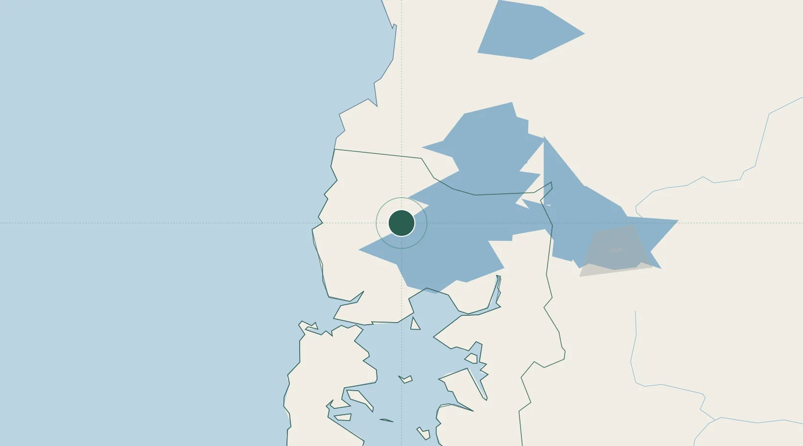
Location
Nearby Logistics Neighbours
Cities
- 1Río Negro16 km
- 2Puerto Octay23 km
- 3Fresia35 km
- 4Osorno39 km
- 5Llanquihue40 km
Ports
- 1Puerto Montt65 km
- 2Puerto De Corral119 km
- 3Bahia De Valdivia124 km
- 4Puerto Quemchi140 km
- 5Puerto Castro181 km
Airports
- 1Cañal Bajo Carlos Hott Siebert Airport35 km
- 2El Tepual International Airport59 km
- 3Las Marías Airport125 km
- 4Pichoy Airport141 km
- 5Mocopulli Airport165 km
DatabookThe Record of Consolidated Knowledge
Chile beyond logistics?