Transport Functions
Rail
Road
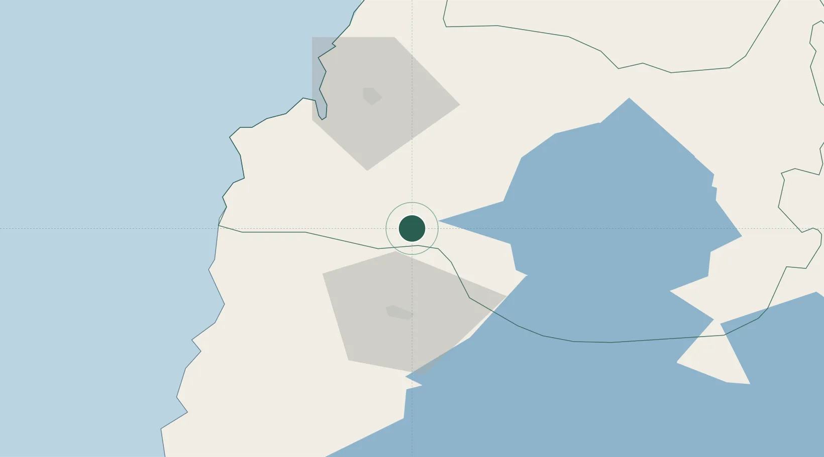
Hub Profile
Place type
Provincial seat
Region
Los Ríos Region
Population
26,298
Time zone
America/Santiago
Elevation
32 m
Location
Nearby Logistics Neighbours
Cities
- 1Río Bueno11 km
- 2Paillaco30 km
- 3Osorno32 km
- 4Lago Ranco50 km
- 5Los Lagos53 km
Ports
- 1Puerto De Corral55 km
- 2Bahia De Valdivia56 km
- 3Puerto Montt134 km
- 4Puerto Quemchi210 km
- 5Puerto Castro251 km
Airports
- 1Cañal Bajo Carlos Hott Siebert Airport37 km
- 2Las Marías Airport56 km
- 3Pichoy Airport70 km
- 4El Tepual International Airport129 km
- 5Pucón Airport149 km
DatabookThe Record of Consolidated Knowledge
Chile beyond logistics?