Transport Functions
Rail
Road
Hub Profile
Place type
Populated place
Region
Los Lagos Region
Time zone
America/Santiago
Elevation
68 m
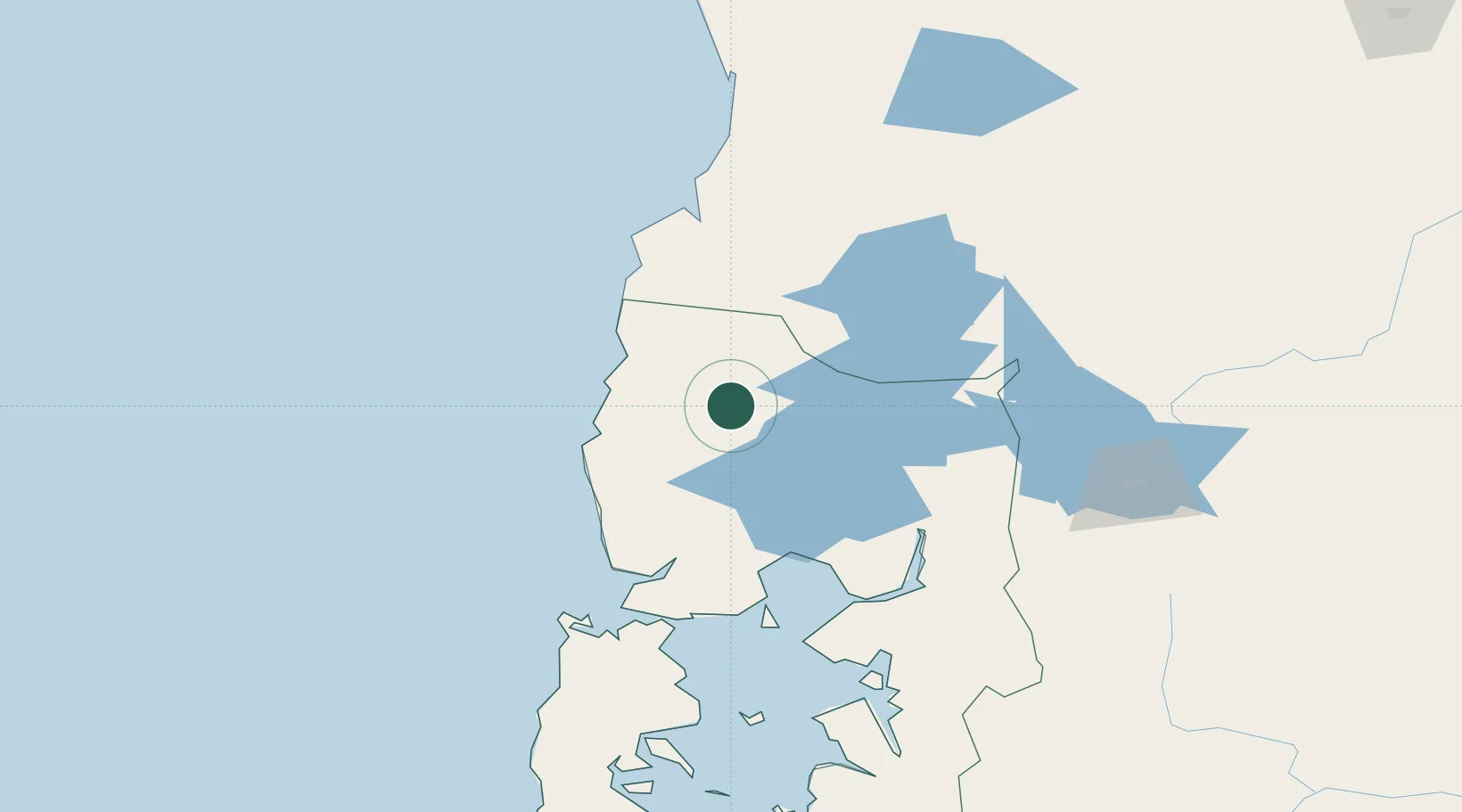
Location
Nearby Logistics Neighbours
Cities
- 1Purranque16 km
- 2Osorno25 km
- 3Puerto Octay35 km
- 4Fresia45 km
- 5Puyehue54 km
Ports
- 1Puerto Montt81 km
- 2Puerto De Corral103 km
- 3Bahia De Valdivia109 km
- 4Puerto Quemchi153 km
- 5Puerto Castro194 km
Airports
- 1Cañal Bajo Carlos Hott Siebert Airport24 km
- 2El Tepual International Airport74 km
- 3Las Marías Airport110 km
- 4Pichoy Airport127 km
- 5Mocopulli Airport178 km
DatabookThe Record of Consolidated Knowledge
Chile beyond logistics?