Transport Functions
Rail
Road
Hub Profile
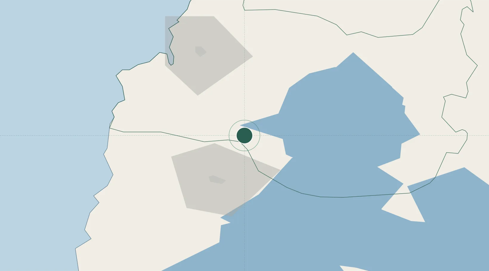
Place type
Populated place
Region
Los Ríos Region
Population
31,366
Time zone
America/Santiago
Elevation
61 m
Location
Nearby Logistics Neighbours
Cities
- 1La Unión11 km
- 2Paillaco29 km
- 3Osorno32 km
- 4Lago Ranco40 km
- 5Puyehue49 km
Ports
- 1Bahia De Valdivia62 km
- 2Puerto De Corral64 km
- 3Puerto Montt130 km
- 4Puerto Quemchi208 km
- 5Puerto Castro250 km
Airports
- 1Cañal Bajo Carlos Hott Siebert Airport34 km
- 2Las Marías Airport62 km
- 3Pichoy Airport75 km
- 4El Tepual International Airport126 km
- 5Pucón Airport145 km
DatabookThe Record of Consolidated Knowledge
Chile beyond logistics?