Medium airport · Chile

Cañal Bajo Carlos Hott Siebert AirportSCJO
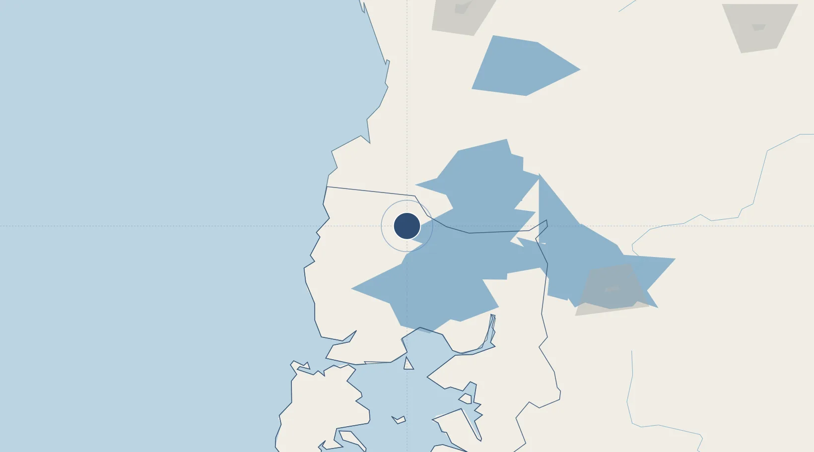
-40.6112°, -73.0610°
6,398 ft
Longest runway
1
Runways
187 ft
Elevation

Runway & Layout

Cañal Bajo Carlos Hott Siebert Airport runway & taxiway layout
Runway & taxiway layout — OpenStreetMap (ODbL) / OurAirports

Radio Frequencies

TWR
118.9 MHz
OSORNO TWR
GND
121.7 MHz
OSORNO GND
APP
119.5 MHz
PUERTO MONTT APP
OurAirports

Navaids

OSO VOR-DME Osorno 116.50 MHz
OSO NDB Osorno 225 kHz
OurAirports

Runways · 1

RunwayDimensions SurfaceTrue headingLit
15/33 6,398 × 118ft Asphalt 155°
OurAirports

Airport Specifications

IATA code
ZOS
OurAirports
ICAO code
SCJO
OurAirports
Airport class
Medium airport
OurAirports
Scheduled service
Yes
OurAirports
Runway surface
Asphalt
OurAirports
Served city
Osorno
OurAirports

Location

Location of SCJO
Natural Earth 10m (public domain) · Los Lagos · SCJO · -40.61, -73.06GoogleOSMYandex

Nearby Logistics Neighbours

Airports
  1. 1Las Marías Airport92 km
  2. 2El Tepual International Airport93 km
  3. 3Pichoy Airport107 km
  4. 4Teniente Luis Candelaria International Airport171 km
  5. 5Aviador C. Campos Airport174 km
Nearest neighbours — logibook spatial index (haversine) over the source coordinates
Cities
  1. 1Osorno9 km
  2. 2Río Negro24 km
  3. 3Río Bueno34 km
  4. 4Purranque35 km
  5. 5La Unión37 km
Nearest neighbours — logibook spatial index (haversine) over the source coordinates
Ports
  1. 1Puerto De Corral89 km
  2. 2Bahia De Valdivia92 km
  3. 3Puerto Montt97 km
  4. 4Puerto Quemchi175 km
  5. 5Puerto Castro216 km
Nearest neighbours — logibook spatial index (haversine) over the source coordinates
Trade Zones
  1. 1Zona Franca Zapala (Zapala Free Trade Zone)318 km
  2. 2Comodoro Free Trade Zone737 km
  3. 3Comodoro Free Trade Zone Zona Franca Chubut737 km
  4. 4La Zona Franca Santa Cruz (ZFSC) - Caleta Olivia790 km
  5. 5Zona Franca Mendoza Free Trade Zone914 km
Nearest neighbours — logibook spatial index (haversine) over the source coordinates
DatabookThe Record of Consolidated Knowledge
Chile beyond logistics?
Browse databook

All Sources

AirportsOurAirports
Public domain
Portsthe NGA World Port Index
Public domain (US gov)
LocationsUN/LOCODE
UN/LOCODE — free
Trade Zonesthe World Bank SEZ database
CC BY 4.0
Trade ZonesOpen Zone Map
CC BY
InfrastructureOpenStreetMap
ODbL 1.0
← Chile airports