UN/LOCODE hub · Chile
CLLAU

Lautaro

-38.5167°, -72.4500°
34,268
Population
2
Transport functions

Transport Functions

Rail
Road
UN/LOCODE

Hub Profile

Place type
Populated place
GeoNames
Region
Araucanía
GeoNames
Population
34,268
GeoNames
Time zone
America/Santiago
GeoNames
Elevation
217 m
GeoNames

Location

Location of CLLAU
Natural Earth 10m (public domain) · Araucanía · CLLAU · -38.52, -72.45GoogleOSMYandex

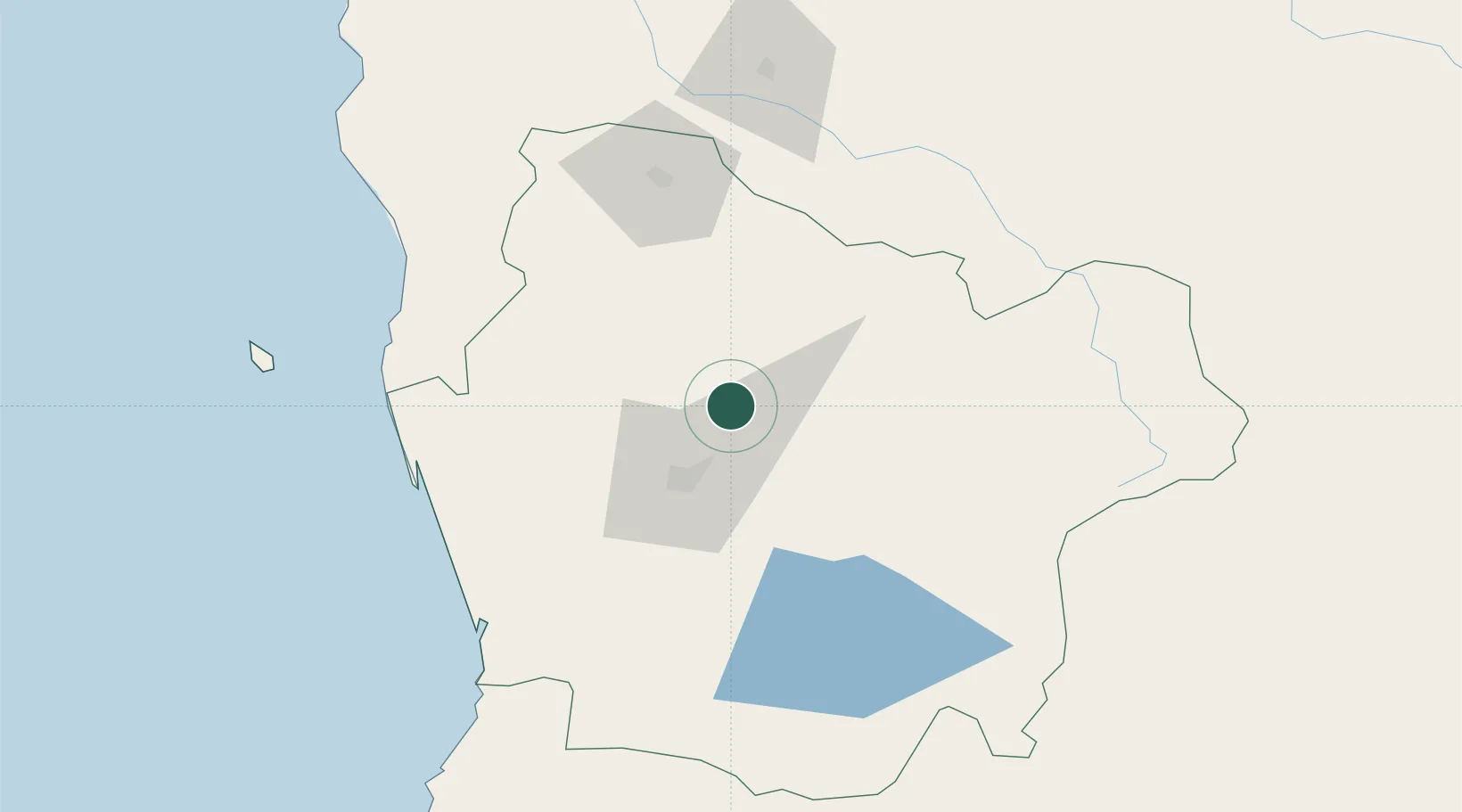
Nearby Logistics Neighbours

Cities
  1. 1Perquenco13 km
  2. 2Vilcún24 km
  3. 3Temuco24 km
  4. 4Padre Las Casas31 km
  5. 5Galvarino32 km
Nearest neighbours — logibook spatial index (haversine) over the source coordinates
Ports
  1. 1Bahia De Valdivia159 km
  2. 2Lota169 km
  3. 3Puerto De Corral172 km
  4. 4Coronel177 km
  5. 5Lirquen206 km
Nearest neighbours — logibook spatial index (haversine) over the source coordinates
Airports
  1. 1Victoria Airport31 km
  2. 2Maquehue Airport32 km
  3. 3La Araucanía International Airport49 km
  4. 4Pucón Airport98 km
  5. 5Pichoy Airport138 km
Nearest neighbours — logibook spatial index (haversine) over the source coordinates
Trade Zones
  1. 1Zona Franca Zapala (Zapala Free Trade Zone)207 km
  2. 2Zona Franca Mendoza Free Trade Zone682 km
  3. 3General Pico Free Zone830 km
  4. 4Justo Daract Free Trade Zone834 km
  5. 5Zona Franca de San Luis834 km
Nearest neighbours — logibook spatial index (haversine) over the source coordinates
DatabookThe Record of Consolidated Knowledge
Chile beyond logistics?
Browse databook

All Sources

LocationsUN/LOCODE
UN/LOCODE — free
LocationsGeoNames
CC BY 4.0
Portsthe NGA World Port Index
Public domain (US gov)
AirportsOurAirports
Public domain
Trade Zonesthe World Bank SEZ database
CC BY 4.0
Trade ZonesOpen Zone Map
CC BY
← Chile locations