Transport Functions
Rail
Road
Hub Profile
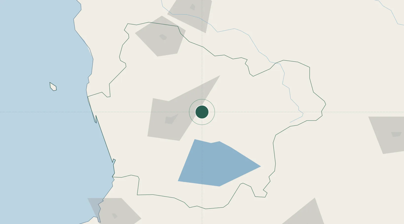
Place type
Populated place
Region
Araucanía
Population
22,499
Time zone
America/Santiago
Elevation
295 m
Location
Nearby Logistics Neighbours
Cities
- 1Lautaro24 km
- 2Perquenco29 km
- 3Temuco30 km
- 4Cunco34 km
- 5Padre Las Casas34 km
Ports
- 1Bahia De Valdivia155 km
- 2Puerto De Corral170 km
- 3Lota190 km
- 4Coronel198 km
- 5Lirquen225 km
Airports
- 1Maquehue Airport37 km
- 2Victoria Airport46 km
- 3La Araucanía International Airport48 km
- 4Pucón Airport77 km
- 5Pichoy Airport133 km
Trade Zones
DatabookThe Record of Consolidated Knowledge
Chile beyond logistics?