Transport Functions
Port
Rail
Road
Airport
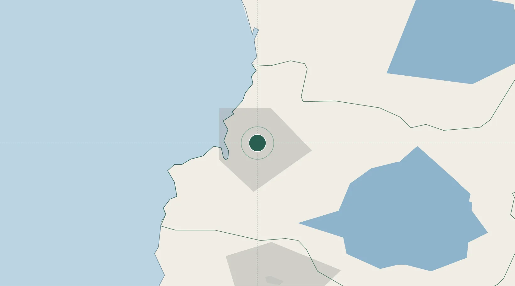
Hub Profile
Place type
Regional capital
Region
Los Ríos Region
Population
133,419
Time zone
America/Santiago
Elevation
17 m
Location
Nearby Logistics Neighbours
Ports
- 1Puerto De Corral19 km
- 2Puerto Montt187 km
- 3Puerto Quemchi260 km
- 4Puerto Castro300 km
- 5Lota302 km
Airports
- 1Las Marías Airport3 km
- 2Pichoy Airport22 km
- 3Cañal Bajo Carlos Hott Siebert Airport89 km
- 4La Araucanía International Airport110 km
- 5Pucón Airport126 km
DatabookThe Record of Consolidated Knowledge
Chile beyond logistics?