Transport Functions
Rail
Road
Hub Profile
Place type
Urban district
Region
Los Ríos Region
Time zone
America/Santiago
Elevation
27 m
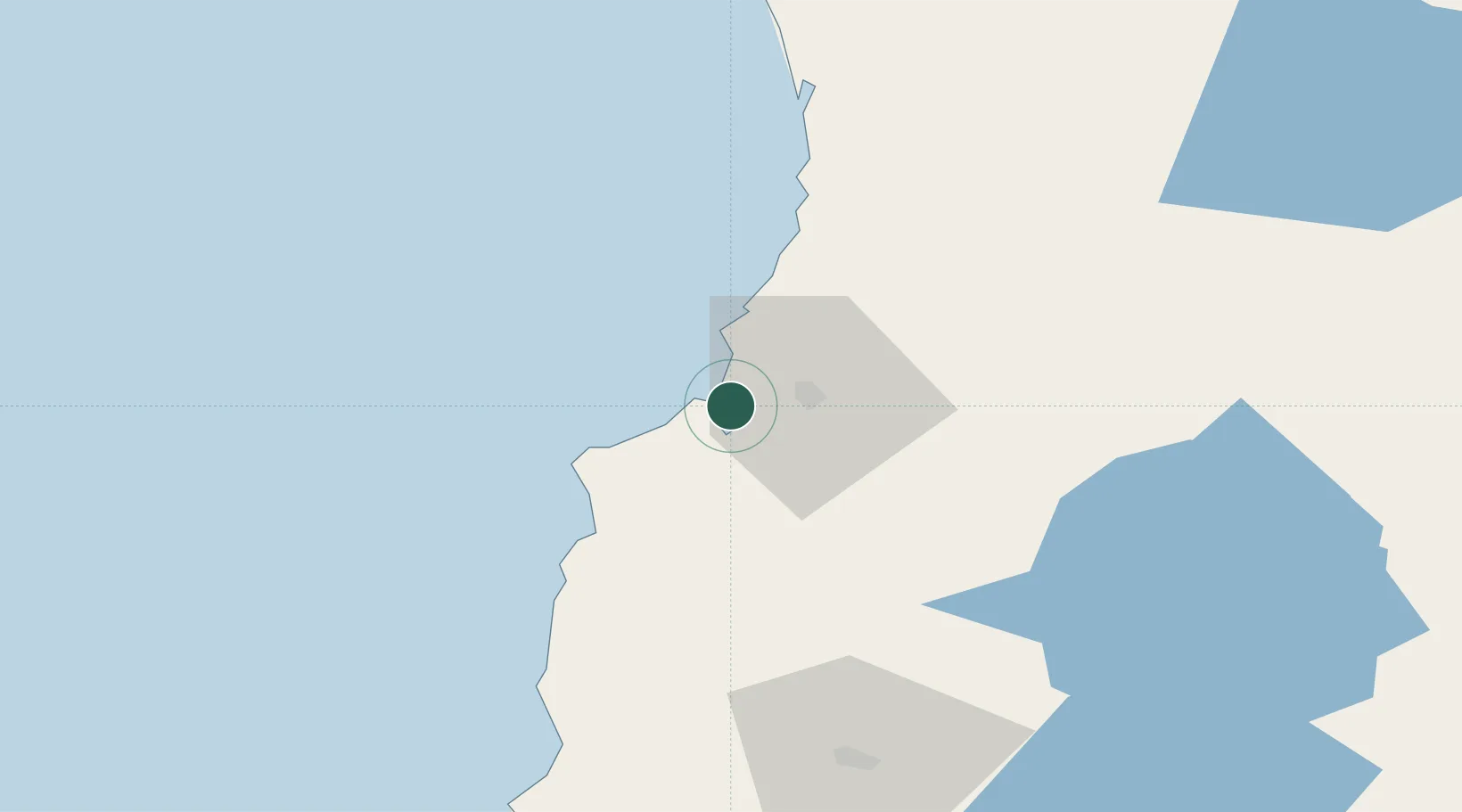
Location
Nearby Logistics Neighbours
Ports
- 1Puerto De Corral5 km
- 2Bahia De Valdivia13 km
- 3Puerto Montt185 km
- 4Puerto Quemchi256 km
- 5Puerto Castro295 km
Airports
- 1Las Marías Airport14 km
- 2Pichoy Airport34 km
- 3Cañal Bajo Carlos Hott Siebert Airport89 km
- 4La Araucanía International Airport121 km
- 5Maquehue Airport137 km
DatabookThe Record of Consolidated Knowledge
Chile beyond logistics?