Transport Functions
Rail
Road
Hub Profile
Place type
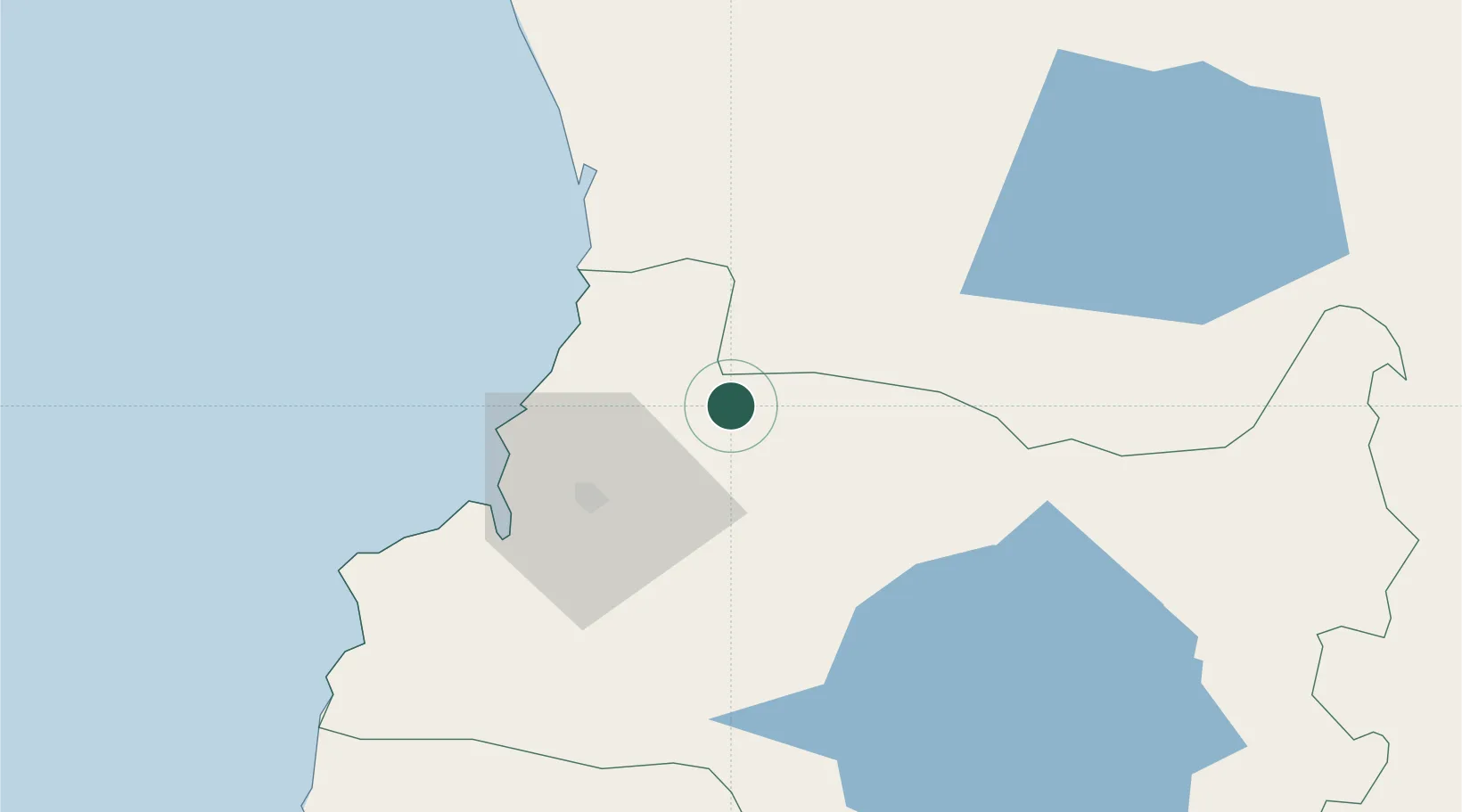
Populated place
Region
Los Ríos Region
Time zone
America/Santiago
Elevation
27 m
Location
Nearby Logistics Neighbours
Ports
- 1Bahia De Valdivia31 km
- 2Puerto De Corral48 km
- 3Puerto Montt204 km
- 4Puerto Quemchi282 km
- 5Lota284 km
Airports
- 1Pichoy Airport12 km
- 2Las Marías Airport30 km
- 3La Araucanía International Airport85 km
- 4Pucón Airport97 km
- 5Maquehue Airport102 km
DatabookThe Record of Consolidated Knowledge
Chile beyond logistics?