UN/LOCODE hub · Chile
CLPAO

Paillaco

-40.0667°, -72.8833°
19,088
Population
2
Transport functions

Transport Functions

Rail
Road
UN/LOCODE

Hub Profile

Place type
Populated place
GeoNames
Region
Los Ríos Region
GeoNames
Population
19,088
GeoNames
Time zone
America/Santiago
GeoNames
Elevation
86 m
GeoNames

Location

Location of CLPAO
Natural Earth 10m (public domain) · Los Ríos Region · CLPAO · -40.07, -72.88GoogleOSMYandex

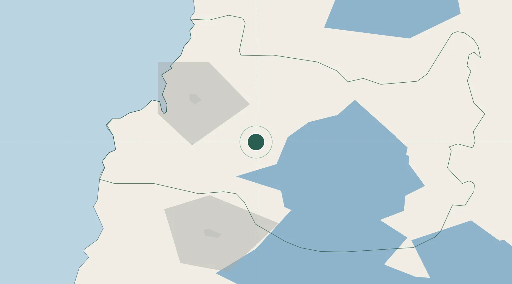
Nearby Logistics Neighbours

Cities
  1. 1Los Lagos25 km
  2. 2Río Bueno29 km
  3. 3La Unión30 km
  4. 4Valdivia40 km
  5. 5Lago Ranco43 km
Nearest neighbours — logibook spatial index (haversine) over the source coordinates
Ports
  1. 1Bahia De Valdivia43 km
  2. 2Puerto De Corral52 km
  3. 3Puerto Montt158 km
  4. 4Puerto Quemchi237 km
  5. 5Puerto Castro279 km
Nearest neighbours — logibook spatial index (haversine) over the source coordinates
Airports
  1. 1Las Marías Airport43 km
  2. 2Pichoy Airport50 km
  3. 3Cañal Bajo Carlos Hott Siebert Airport62 km
  4. 4Pucón Airport119 km
  5. 5La Araucanía International Airport128 km
Nearest neighbours — logibook spatial index (haversine) over the source coordinates
Trade Zones
  1. 1Zona Franca Zapala (Zapala Free Trade Zone)272 km
  2. 2Comodoro Free Trade Zone779 km
  3. 3Comodoro Free Trade Zone Zona Franca Chubut779 km
  4. 4La Zona Franca Santa Cruz (ZFSC) - Caleta Olivia834 km
  5. 5Zona Franca Mendoza Free Trade Zone853 km
Nearest neighbours — logibook spatial index (haversine) over the source coordinates
DatabookThe Record of Consolidated Knowledge
Chile beyond logistics?
Browse databook

All Sources

LocationsUN/LOCODE
UN/LOCODE — free
LocationsGeoNames
CC BY 4.0
Portsthe NGA World Port Index
Public domain (US gov)
AirportsOurAirports
Public domain
Trade Zonesthe World Bank SEZ database
CC BY 4.0
Trade ZonesOpen Zone Map
CC BY
← Chile locations