Transport Functions
Port
Road
Airport
Hub Profile
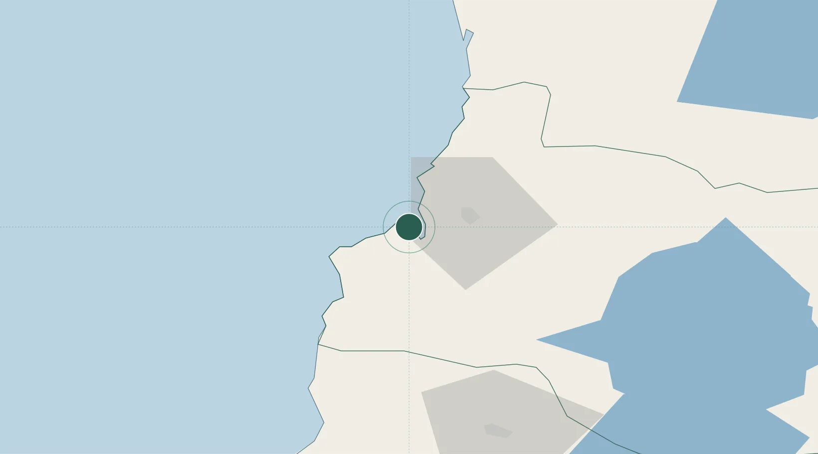
Place type
Populated place
Region
Los Ríos Region
Population
5,084
Time zone
America/Santiago
Elevation
0 m
Location
Nearby Logistics Neighbours
Ports
- 1Bahia De Valdivia17 km
- 2Puerto Montt184 km
- 3Puerto Quemchi254 km
- 4Puerto Castro292 km
- 5Lota309 km
Airports
- 1Las Marías Airport18 km
- 2Pichoy Airport38 km
- 3Cañal Bajo Carlos Hott Siebert Airport89 km
- 4La Araucanía International Airport124 km
- 5Maquehue Airport140 km
DatabookThe Record of Consolidated Knowledge
Chile beyond logistics?