Transport Functions
Port
Airport
Hub Profile
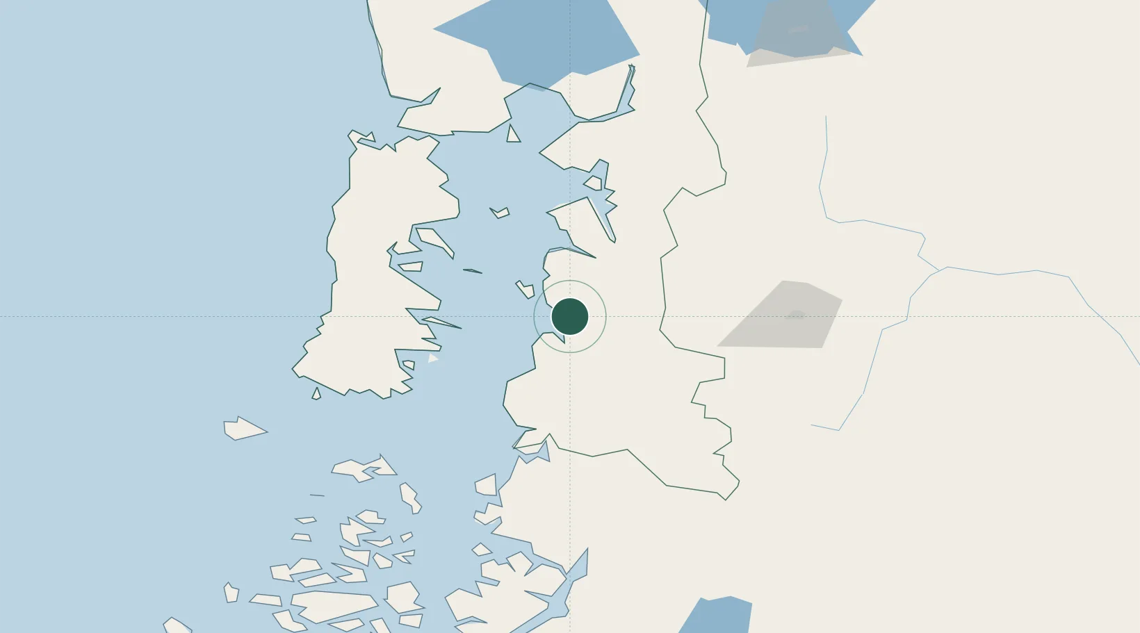
Place type
Populated place
Region
Los Lagos Region
Population
3,347
Time zone
America/Santiago
Elevation
17 m
Location
Nearby Logistics Neighbours
Cities
- 1Queilén63 km
- 2Ayacara69 km
- 3Carahue70 km
- 4Quinchao72 km
- 5Quellón (Puerto Quellón)77 km
Ports
- 1Puerto Castro100 km
- 2Puerto Quemchi107 km
- 3Puerto Montt161 km
- 4Puerto Chacabuco284 km
- 5Puerto De Corral345 km
Airports
Trade Zones
DatabookThe Record of Consolidated Knowledge
Chile beyond logistics?