Transport Functions
Port
Road
Hub Profile
Place type
Urban district
Region
Los Lagos Region
Time zone
America/Santiago
Elevation
16 m
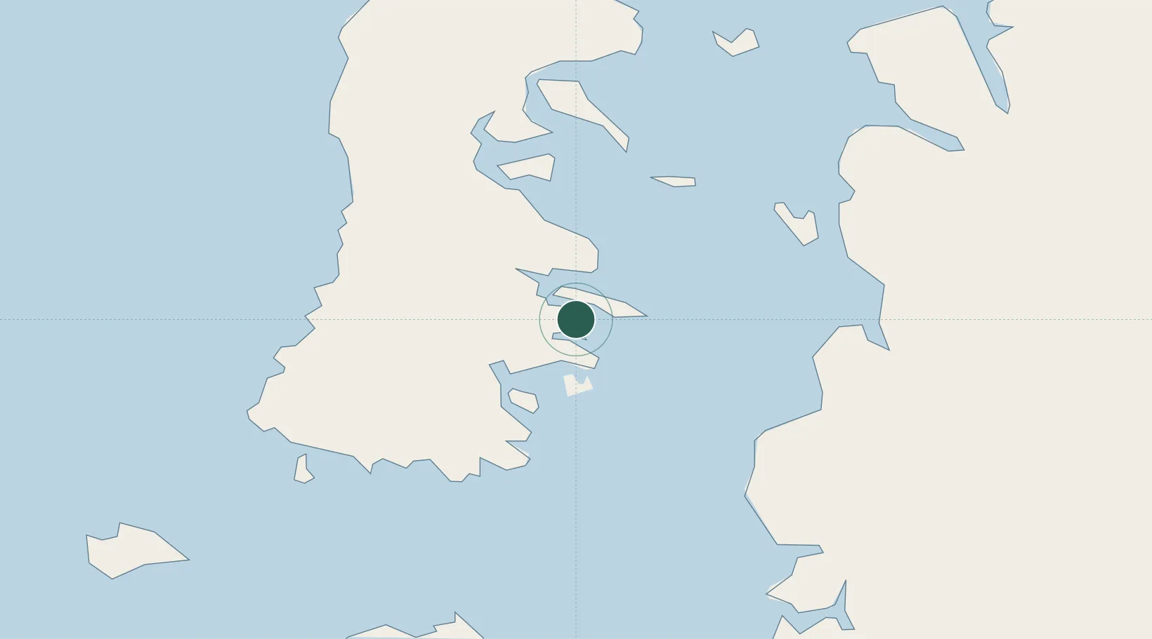
Location
Nearby Logistics Neighbours
Cities
- 1Quellón (Puerto Quellón)12 km
- 2Queilén16 km
- 3Quellón Viejo18 km
- 4Puqueldón47 km
- 5Chonchi49 km
Ports
- 1Puerto Castro60 km
- 2Puerto Quemchi95 km
- 3Puerto Montt175 km
- 4Puerto Chacabuco280 km
- 5Puerto De Corral349 km
Airports
DatabookThe Record of Consolidated Knowledge
Chile beyond logistics?