Transport Functions
Port
Hub Profile
Place type
Urban district
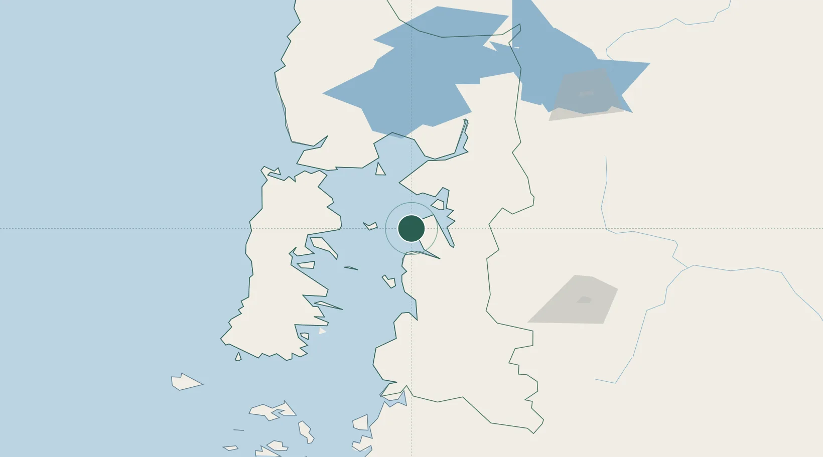
Region
Los Lagos Region
Time zone
America/Santiago
Elevation
41 m
Location
Nearby Logistics Neighbours
Cities
- 1Hualaihué33 km
- 2Quinchao56 km
- 3Quemchi61 km
- 4Achao63 km
- 5Curaco de Vélez66 km
Ports
- 1Puerto Quemchi60 km
- 2Puerto Castro83 km
- 3Puerto Montt92 km
- 4Puerto De Corral276 km
- 5Bahia De Valdivia281 km
Airports
Trade Zones
DatabookThe Record of Consolidated Knowledge
Chile beyond logistics?