Transport Functions
Port
Hub Profile
Place type
Populated place
Region
Los Lagos Region
Time zone
America/Santiago
Elevation
6 m
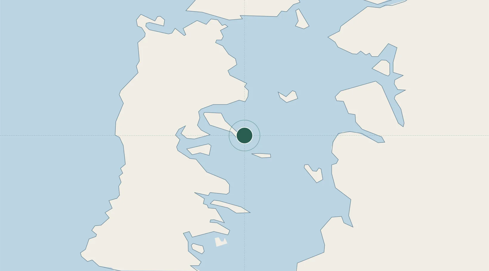
Location
Nearby Logistics Neighbours
Cities
- 1Achao12 km
- 2Curaco de Vélez17 km
- 3Puqueldón21 km
- 4Dalcahue26 km
- 5Castro31 km
Ports
- 1Puerto Castro30 km
- 2Puerto Quemchi41 km
- 3Puerto Montt120 km
- 4Puerto De Corral295 km
- 5Bahia De Valdivia302 km
Airports
Trade Zones
DatabookThe Record of Consolidated Knowledge
Chile beyond logistics?