Transport Functions
Port
Road
Hub Profile
Place type
Populated place
Region
Los Lagos Region
Time zone
America/Santiago
Elevation
7 m
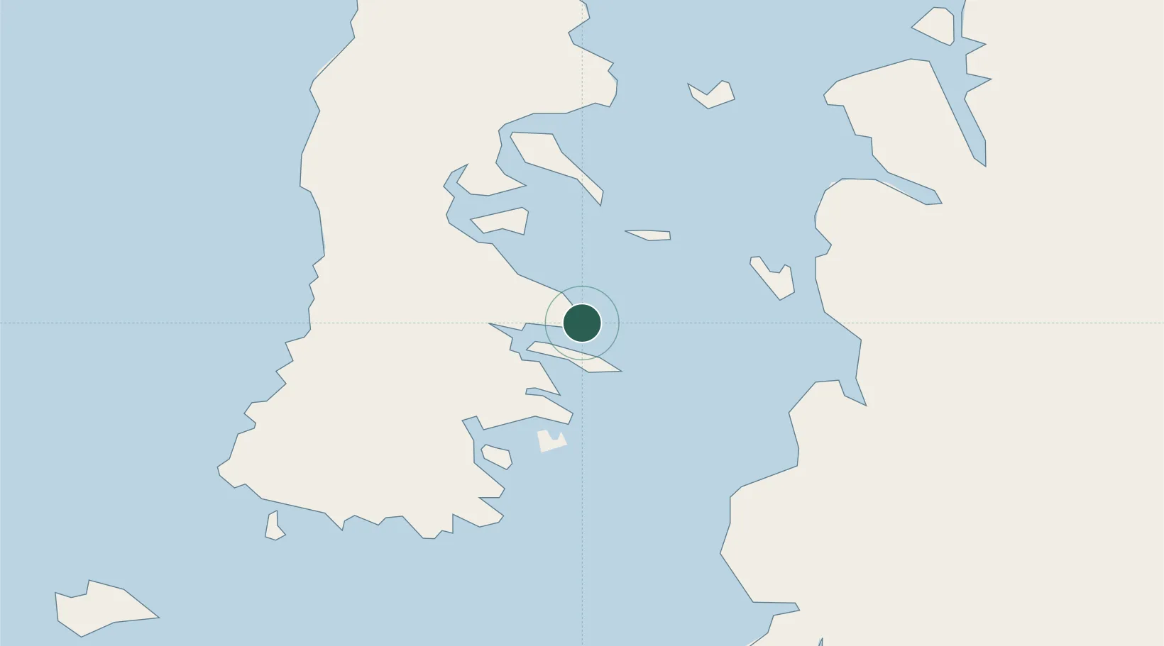
Location
Nearby Logistics Neighbours
Cities
- 1Carahue16 km
- 2Quellón (Puerto Quellón)29 km
- 3Quellón Viejo34 km
- 4Puqueldón34 km
- 5Quinchao39 km
Ports
- 1Puerto Castro49 km
- 2Puerto Quemchi80 km
- 3Puerto Montt159 km
- 4Puerto Chacabuco294 km
- 5Puerto De Corral334 km
Airports
DatabookThe Record of Consolidated Knowledge
Chile beyond logistics?