Transport Functions
Port
Road
Hub Profile
Region
LL
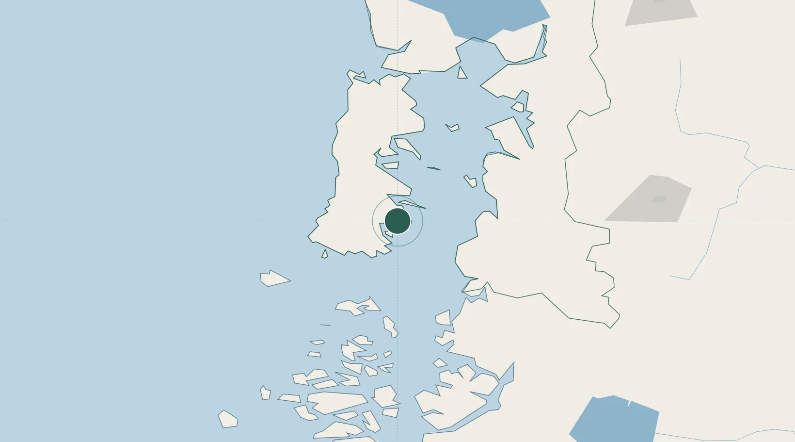
Location
Nearby Logistics Neighbours
Cities
- 1Quellón Viejo6 km
- 2Carahue12 km
- 3Queilén29 km
- 4Puqueldón58 km
- 5Chonchi58 km
Ports
- 1Puerto Castro70 km
- 2Puerto Quemchi106 km
- 3Puerto Montt188 km
- 4Puerto Chacabuco270 km
- 5Puerto De Corral360 km
Airports
DatabookThe Record of Consolidated Knowledge
Chile beyond logistics?